Archeology has been changing over the last decade through a quiet revolution that allows archeologists to see through the ground without digging. Here are just some techniques that allow archeologists to explore sites without damaging the artifacts:
- Google Earth
Satellite imagery makes it possible to zoom into the remote corners of the world and explore various sites. Archeologists use it to spot settlement mounds and explosures as well as other places that make it hard to get to.
- LIDAR (Light Detection and Ranging LIDAR technology)
This type of technology produces detailed three-dimensional maps of the Earth’s surface at a fraction of the time traditional methods would take. LIDAR can often create images through vegetation and locates sites that are otherwise obscured by woodland.
- Drones
Archeologists use drones to capture sites from the air. They can take photographs in low light as well as during extreme weather conditions.
- Shallow geophysics
Geophysical techniques help locate targets to investigate . They can reflect the pattern of archeological features created through burning or by soil bacteria that leave magnetic traces in the soil.
- Soil geochemistry
Traces of faeces from both humans and animals around ancient settlement can reside in the area for millennia. These can be located at ancient sites and are especially inmportant if there are few or no artefacts left behind. Over the last few years, x-ray fluorescence spectroscopy measures have become available, enabling rapid in-the-field records of samples.
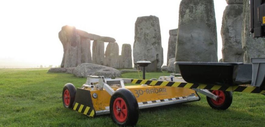
- Gound penetrating radar
Radar pulses image the ground to allow for visualization of what lies beneath the surface of the ground, however though it works in confined spaces and through hard surfaces it is still difficult to interpret the results.