Photos taken from the NASA’s International Space Station reveal the devastating effects of war in regions of conflict.
1. Egypt-Isreal
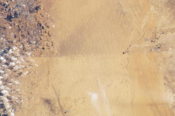
The two countries fought in the 1967 war and have a 50km long road that is visible from space. Israel is in the northern part (with the dark shaded sand) while Egypt can be seen in the south.
2. Iran-Iraq
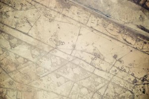
The neighbouring countries were embroiled in an 8-year military conflict (1980-88). The border that divides them can be clearly seen in the picture, with Iraq being in the bottom left corner and Iran located in the up right corner. The lines and grids showing are the fortifications built during the war.
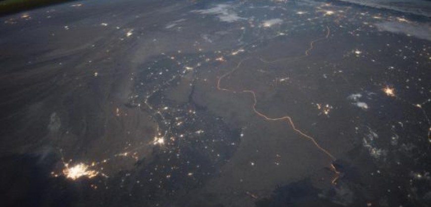
3. India-Pakistan
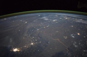
The yellow lines are the borders dividing the two countries which were drawn up in 1947 with the founding of Pakistan. The illumination comes from the security lights on the borders.
4. Kazakhstan-China
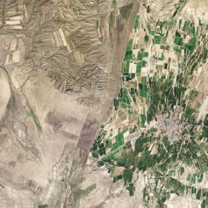
The clear contrasting colours on both sides delineate the borders between these two countries. The green side is China, while the right side is Kazakhstan.