Απόρρητο

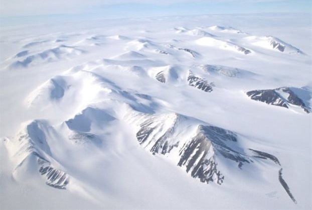
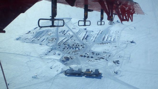
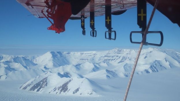
The last unknown part on earth, the South Pole, has finally been surveyed. European scientists have used instruments to the region to map its hidden depths. Known as PolarGAP, the project was largely funded by the European Space Agency (Esa) to gather measurements over an area of Earth that its satellites cannot see, as they generally only fly up to about 83 degrees in latitude. As well as finding previously unknown valleys and mountains, the team says it has acquired important data that will have uses far from Antarctica. Professor René Forsberg from the National Space Institute at the Technical University of Denmark (DTU-Space) said gravity data was fundamental knowledge needed to understand height across the planet. GPS and other satellite systems depended on having a universal reference, he explained. To get its information, the PolarGAP team flew an instrumented Twin-Otter plane across the polar landscape in grid lines that totalled some 30,000km.
As well as gravity and magnetic sensors, the airborne campaign carried a radar and a laser altimeter.
The radar provides insights on the layers and total thickness of the ice sheet. It also maps the shape of the rockbed and gives some information on the movement of water at the ice-rock interface.
source: BBC.com