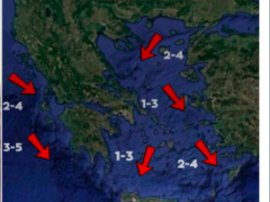
A serious deterioration in the weather conditions will start from Thursday and it will effect especially Northern Greece and then the rest of the country, just days after the previous wave of bad weather.
The phenomena will reach Crete and chances are that it will be snowing simultaneously in Athens, Thessaloniki, Larisa and probably Patra and Agrinio!
However, this wave’s main characteristic will be frost and not snow, especially on Sunday and Monday. It will last all day and temperatures will not raise above zero.
In northern Greece the temperature may go as low as -20 or -22℃. In certain high altitude areas the snow will be as deep as 30cm.
From Friday afternoon the phenomena will go south to Thessaly, Central Greece, Euboea, Attica, Sporades and the Peloponnese. In the main time snow will keep falling in Macedonia and Thrace until the conditions will improve on Saturday morning and fade in northern Greece. Snowfall will continue in Thessaly and further to the South.
Winds will be due South at 10 Buford’s but soon they will turn North. On Saturday morning the phenomena will be located on central and southern parts of the country.
The wave of bad weather will leave Greece around Tuesday.
Athens
Thursday: Cloudy with rains from the night hours, temperature around 7℃ to 14℃.
Friday: Rains initially but in the afternoon there will be snowfall on the northern parts of Attica and by nightfall to the rest of the County. Temperature will be from 0℃ to 8℃.
Saturday: Snowfall on the lowlands and by the sea. Temperature from -3℃ to 1℃.
Sunday: Sporadic Snowfall. Temperature from -4℃ to 0℃.
Thessaloniki
Thursday: Local rains by midday. Around midnight there will be snowfall. Temperature from 2℃ to 9℃.
Friday: Heavy snowfall all through the day. Temperature from -5℃ to 1℃.
Saturday: Few local snowfall on the morning hours with a fast improvement of temperature from -10℃ to -5℃.
Sunday: Few local clouds with temperature from -10℃ to -5℃.
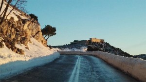
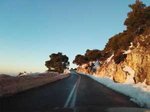
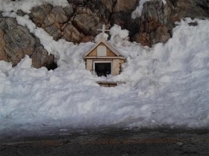
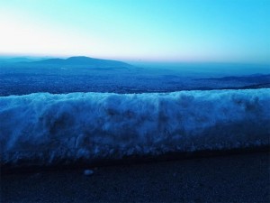
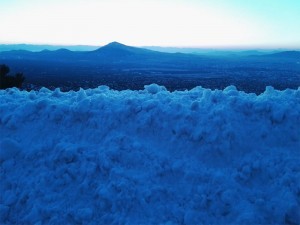
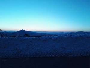
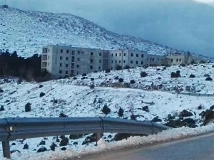
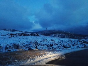
Beautiful mages from Parnitha covered with up to 3 meters of snow!
Ask me anything
Explore related questions

