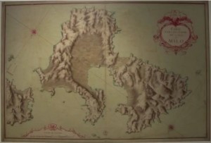
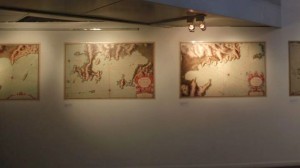
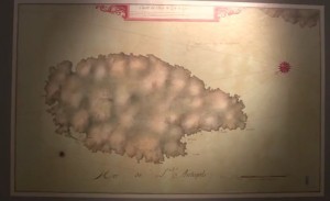
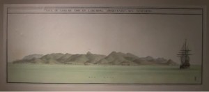
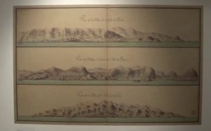
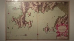
An exhibition of a previously unseen map collection of the Aegean archipelago has opened in the northern Greek city of Thessaloniki.
The rare 333-year-old maps commissioned by Louis XIV of France were found in the Thessaloniki University Library in 2016.
This led to the discovery of the remainder of the collection in the historical archives of the French defense ministry.
The exhibition “Archipelago 1685-1687 in the maps of Louis XIV” was organized by the Thessaloniki University library in collaboration with the French Consulate in Thessaloniki and the AUTH Cartography Workshop.
It was inaugurated at the Telloglio Arts Foundation on Wednesday and will run until April 2.
It features 39 rare, hand-drawn French maps of the Cyclades islands of exceptional quality and technique – which demonstrate the influence of classicism on cartography – as well as 28 panoramic works of art.
According to the organizers, in addition to their technical interest, the maps also provide a rare insight into the geopolitical challenges and risks at the time of their creation, leading to a deeper understanding of the balances and strategic significance of the Aegean as a sea that unites east and west, Europe and Asia.
French General Consul Philippe Ray said that the organization of the exhibition highlighted the historic ties between Greece and France.
“We can see symbols of this relationship in the excellent condition of these maps, their careful preservation, separately in Paris and Thessaloniki, and in their reunification today,” he added, noting that it “concerns the presentation of a cultural heritage that is very dear to both countries, that we share and which unites us historically and geographically: the Mediterranean Sea”.
Source: greekreporter
Ask me anything
Explore related questions
