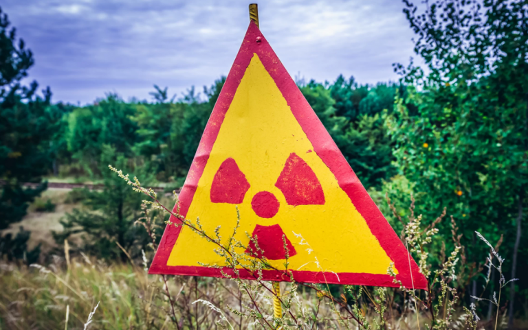
Near ground zero of the catastrophic 1986 explosion at the Chernobyl Nuclear Power Plant, aerial drones recently revealed radioactive hotspots that aren’t on official maps.
An interdisciplinary team flew special drones over Ukraine’s Red Forest, one of the most radioactive spots in the world, which is located 0.3 miles (500 meters) from the Chernobyl complex, University of Bristol (UB) representatives announced in a statement.
Using data from the drone observations, the UB scientists, who are part of the National Centre for Nuclear Robotics (NCNR), created the most detailed map to date of radiation in the forest. They also pinpointed previously unsuspected locations where contamination was unusually intense, according to the statement.
Read more HERE
Ask me anything
Explore related questions


