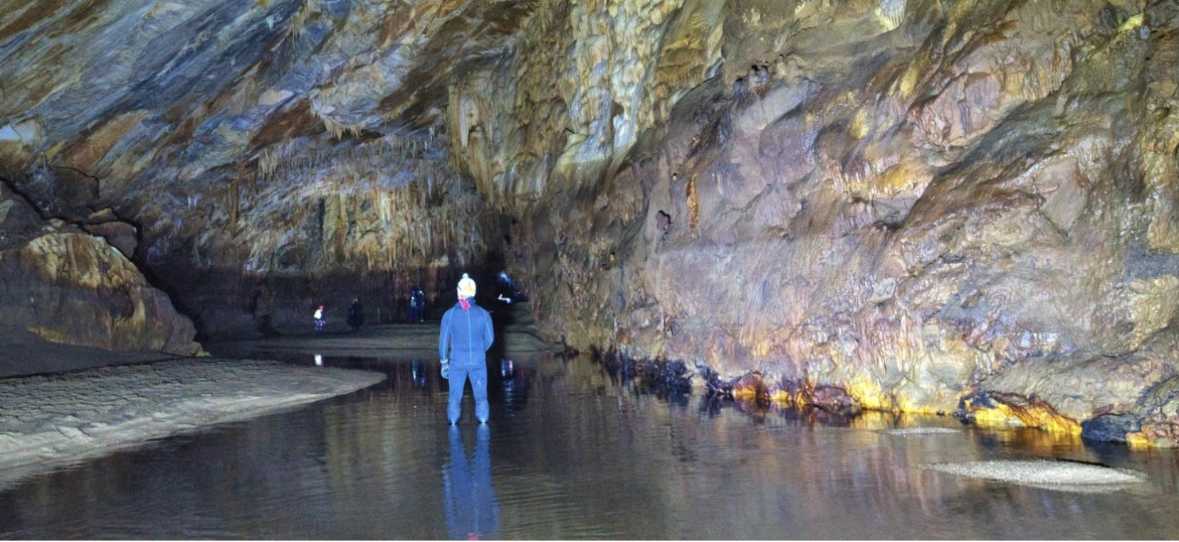
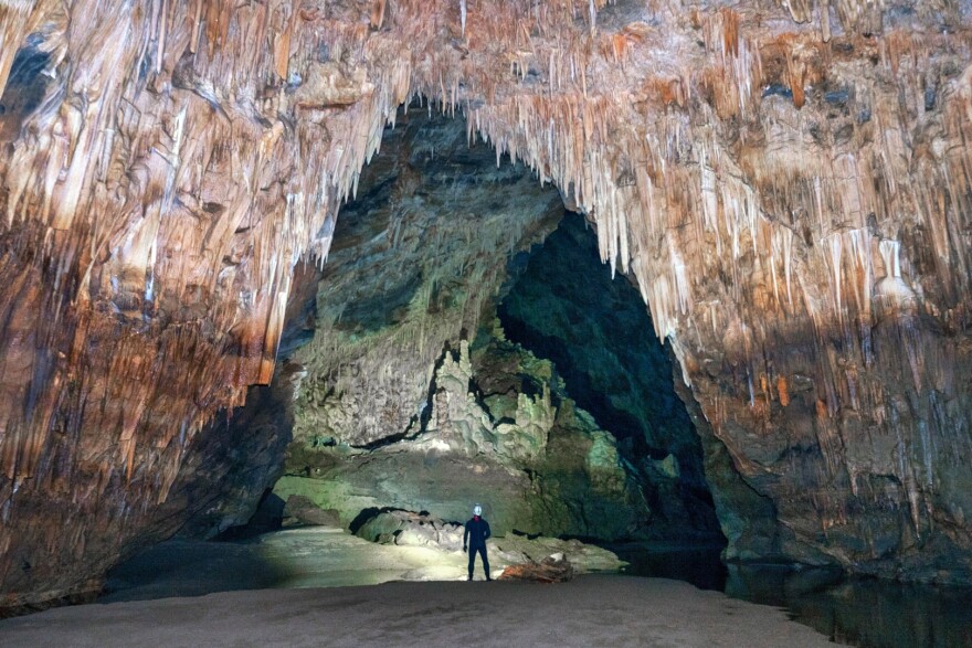
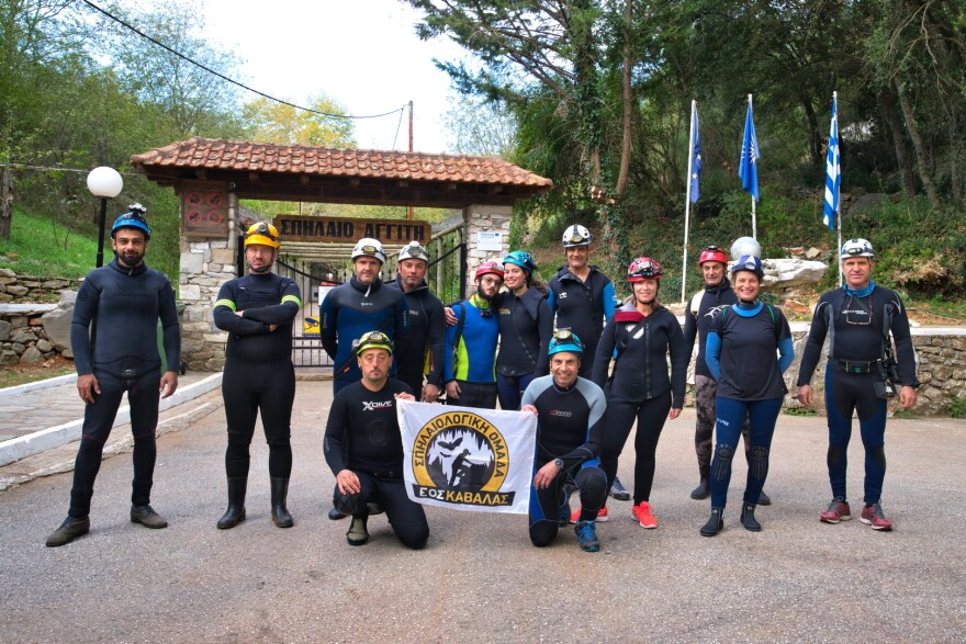
During their annual exploration of the non-accessible part of the Angitis River Cave, members of the Speleological Team of the Hellenic Mountaineering Club of Kavala (E.O.S. Kavala 1933) were confronted with an unexpected sight: the water level was the lowest they had seen in years.
This decrease is a direct result of higher temperatures, reduced rainfall, and lack of snowfall, marking a clear indication of the environmental strain caused by human activities and climate change.
The Angitis River Cave is located 23 kilometers northwest of Drama, in the community of Kokkinogeia, under the jurisdiction of the Prosotsani Municipality.
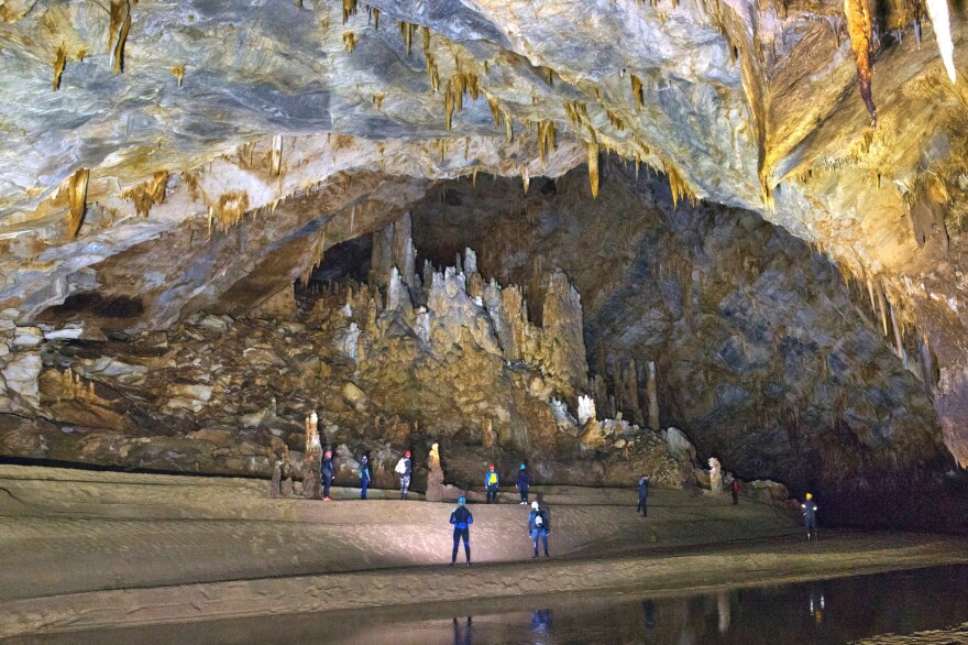
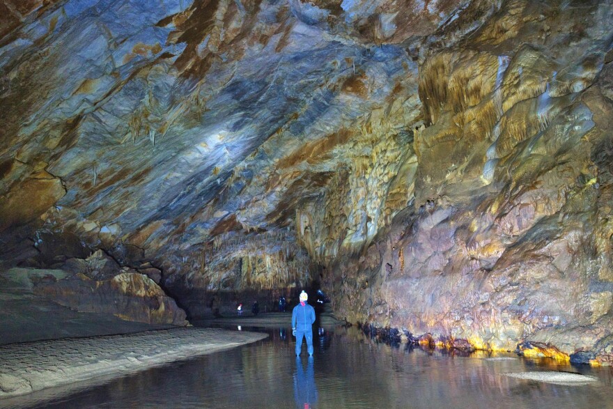
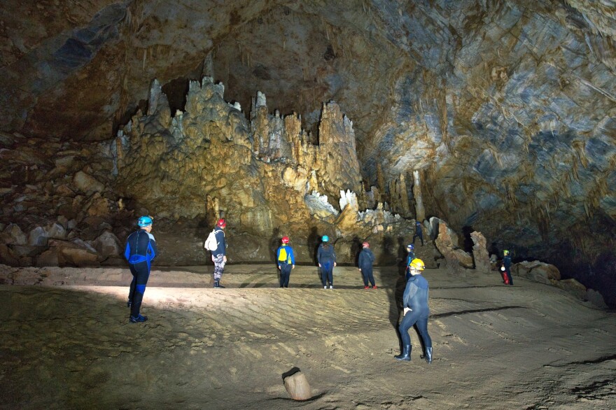
It is fed by the Menikio Mountain and the sinkholes of the Kato Nevrokopi Basin. Speleologists from E.O.S. Kavala 1933, who were given special permission by the Paleoanthropology and Speleology Department of Northern Greece, have been regularly exploring this hidden section of the cave for years. They emphasize that the current water level is the lowest they’ve ever observed.
The cave is not just an impressive natural monument but also a critical part of the region’s ecosystem. Its once abundant waterfalls, which flowed through the gorge, have now dried up due to the decreasing water levels, leaving the surrounding environment almost unrecognizable.
Visitors who had previously seen the cave with its powerful water features are now faced with a dramatically different, almost dry landscape.
The river cave’s diminished water levels are also a major concern for the area’s long-term hydrological sustainability. According to Kyriakos Papadopoulos, Head of the Department of Culture and Tourism of the Prosotsani Municipality, “It’s the first time in 25 years that the river’s water level has dropped this low.”
He highlighted the urgent need for significant snowfall to help restore the underground water reserves and replenish the cave’s natural resources. Papadopoulos added that the current situation is troubling, as the once lush and vibrant cave environment has significantly changed without its primary element—water.
Although the cave continues to attract visitors due to its unique geological features, the drying waterway has led to some operational changes. The cave was traditionally closed for three to four months a year due to flooding, but in 2024, it remained open all year as the water levels never rose high enough to necessitate a closure. This year’s visitor numbers have increased by 18%, despite the environmental concerns.
Papadopoulos also pointed out that the cave’s formation is directly tied to the karstic erosion of the limestone rocks from the nearby Falakro Mountain.
The water that carved out the cave comes from the melting winter snow and seasonal rains in the Nevrokopi Basin.
The river then travels through the cave for 12 kilometers before emerging into the Draminian plain. However, without significant snowfall, the hydrological cycle is disrupted, impacting both the cave and the broader environment.
The Angitis River Cave remains one of Greece’s most important natural monuments. First explored by Greek and French speleologists in 1978, the cave has revealed about 12 kilometers of passageways, with 10 kilometers already mapped.
Visitors can access the first 500 meters of the cave and witness its impressive geological formations, including active stalactite growth.
While the natural beauty of the cave endures, the lack of water fundamentally alters the experience for those who visit this year compared to previous seasons.
With the water levels so drastically reduced, the future of the cave depends on responsible environmental management and a return to more typical weather patterns.
The unique ecosystem of the cave, formed over millennia, must be protected, but it will take a collective effort to reverse the damage caused by drought and climate change.
Ask me anything
Explore related questions
