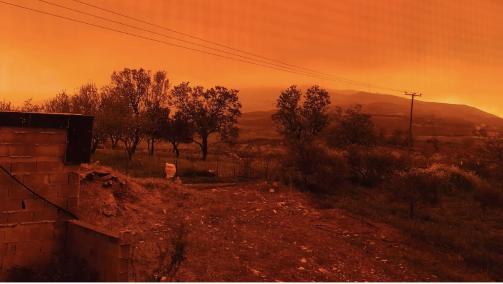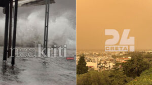
Localized heavy rain and thunderstorms are forecast over the next three days in many parts of western Greece in particular, according to the emergency weather deterioration report issued today by the Hellenic National Meteorological Service (HNMS). Civil Protection issued recommendations.
According to the HNMS emergency bulletin, locally severe phenomena are expected:
- Saturday (08-11-25) until the afternoon in the Ionian, Epirus, Western Mainland Greece and northwestern Peloponnese.
- Sunday (09-11-25) from late morning in the Ionian and from the afternoon in Western Mainland Greece and Epirus.
- Monday (10-11-25)
a. until midday in the Ionian, Epirus and Western Mainland Greece
b. until the evening in Western Peloponnese
c. from late morning in Central and Eastern Macedonia.
For this reason, the General Secretariat for Civil Protection is urging citizens to be particularly careful and take self-protection measures to avoid risks caused by severe weather.
The GSCP (civilprotection.gov.gr) of the Ministry of Climate Crisis & Civil Protection has informed all relevant state services, regions and municipalities so they remain on heightened civil protection readiness, in order to immediately deal with any impacts.
In addition, as the Fire Service announced, the operational plan for flood risk response is being activated, and Fire Service units in the affected regions have been placed on increased readiness with potential further escalation if required.
In particular, in areas where heavy rainfall, thunderstorms or gale force winds are forecast, GSCP advises citizens:
• Secure objects that may be swept away by severe weather and cause damage or injury.
• Make sure gutters and downpipes in homes are not blocked.
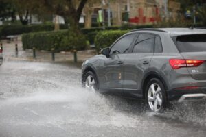
• Avoid crossing torrents / streams on foot or by vehicle during and for hours after storms. Extra caution where roads intersect with torrents and no bridge exists.
• Avoid outdoor work and sea/coastal activities during severe weather (risk of lightning).
• Shelter immediately during hail. Enter a building or vehicle and do not leave until the storm is over.
• Avoid passing under large trees, hanging signs or places where light objects may fall (e.g. under balconies).
• Follow instructions from authorities (Traffic Police etc.)
In areas with intense lightning activity:
If indoors
• Do not hold electrical appliances or the telephone – lightning can travel through cables. Disconnect TVs from antenna and power.
• Avoid touching plumbing as pipes can conduct electricity.
If in a car
• Stop safely away from trees that could fall.
• Stay inside with hazard lights on until the storm passes.
• Close windows and avoid touching metal parts.
• Avoid flooded roads.
If outdoors
• Seek shelter in a building or vehicle – otherwise crouch low, head between knees.
• If in forest, shelter under dense branches of low trees.
• Never shelter under a tall isolated tree.
• Avoid low ground due to flood risk.
• Stay away from power lines, phone lines, fences.
• Keep away from metal objects (cars, bikes, camping gear etc.)
• Move away from rivers, lakes or water bodies.
• Exit the sea immediately if swimming.
• If alone in an open flat area and you feel your hair standing (sign of imminent lightning) crouch deep, head between knees, minimizing body surface contact with ground and throw away any metal items on you.
Ask me anything
Explore related questions