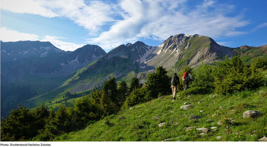
This route is one of the most beautiful journeys someone can take through mountainous Greece, passing through stunning mountains, gorges, and slopes, following the course of Greece’s most magnificent mountain range—the Pindus.
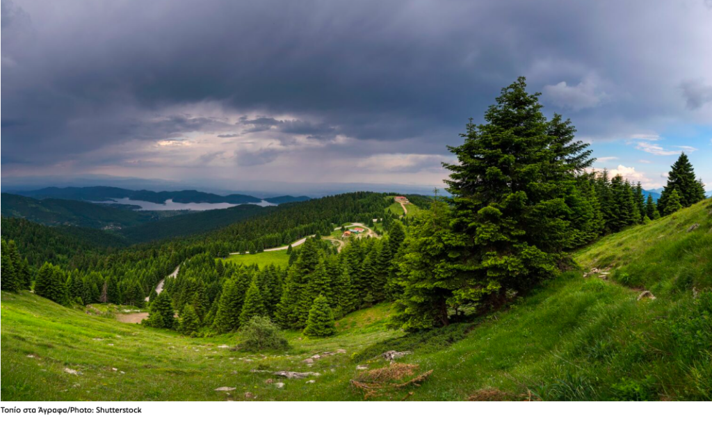
The journey from Nafpaktos to Agrafa winds through authentic, raw, and imposing landscapes—many of which remain unknown to the broader public. Along the way, you’ll encounter endless ridgelines, “alpine” landscapes, and meadows, ascend impressive cliffs, and delve into deep ravines. Lush forests, shaded gorges, and rivers with crystal-clear waters welcome you, forming an ecological paradise at the heart of the country. This is a place of unspoiled and extraordinary natural beauty. Time moves at its own pace here, and even in summer, you’ll need a jacket in the mountain villages after sunset.
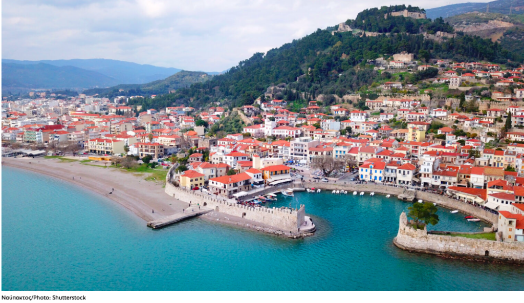
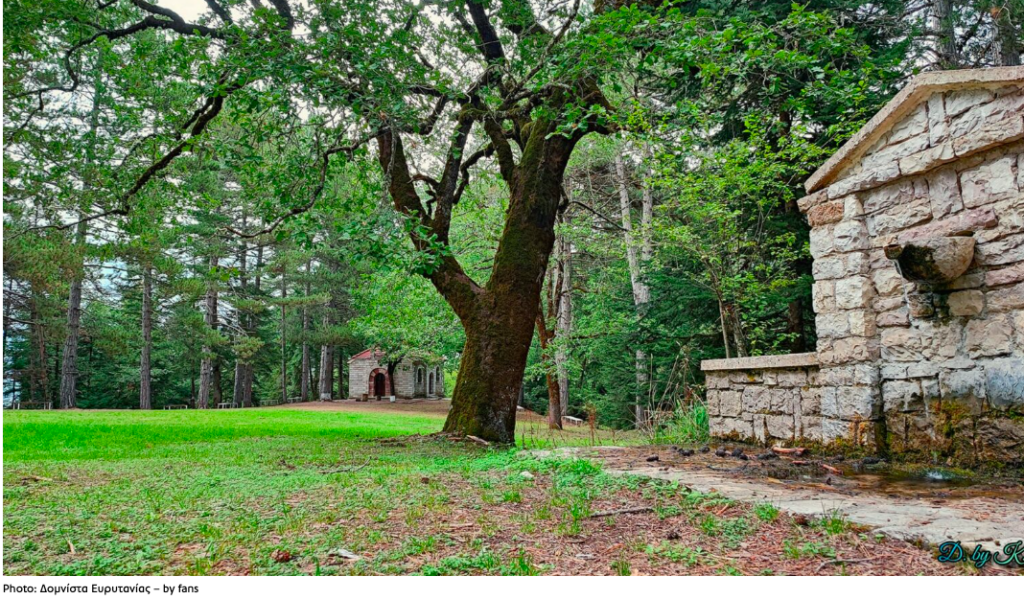
From Nafpaktos, you head towards the Mountainous Nafpaktia region, passing through Elatou and Ano Chora, and reaching Platano before continuing to Domnista and Krikello, eventually joining the main road to Karpenisi. Here, turn left, pass through the town, and continue toward Vinyani, then head to Kerasochori and Krenti. From there, a riverside road follows the flow of the Agrafiotis River, crossing it a couple of times via small bridges, and finally leads to Agrafa.
Leaving Nafpaktos behind, you immediately enter a stunningly beautiful route aimed at reaching Elatou: a small settlement hidden among fir trees, just as its name suggests. Soon after, you reach Ano Chora, amphitheatrically built on the slopes of the Vardousia mountains, overlooking the peaks across the valley at an elevation of 1,000 meters. In October, the village celebrates its chestnut festival, and in February, it hosts the traditional “tsigarithra” festival, featuring local cured meat, along with wine and tsipouro. Nearby is Platano, the largest village in the region.
As you approach the Evinos River dam, you’ll encounter the villages of Evinochoria, which enchant visitors with their stunning views of Lake Evinos, especially from Agios Dimitrios. Next, you come across Arachova, another beautiful mountain village at 1,000 meters, offering breathtaking views. We made our first overnight stop here, where you can find small guesthouses and charming taverns serving excellent grilled meats. The picturesque mountain square invites you to relax and take it all in.
After a refreshing two-day break, we continued our journey, passing through Krikello. This is one of Greece’s most elevated settlements, at 1,120 meters, with the Krikelliotis River and views of the (almost always snow-capped) peak of Kaliakouda at 2,100 meters. The European hiking trail E4 also passes through here, offering a rare path surrounded by ancient plane trees and crystal-clear springs. We, of course, made a stop in the village square, surrounded by traditional stone houses, cozy cafés, and taverns serving local delicacies.
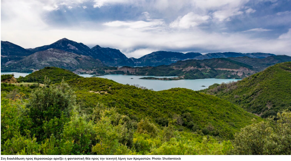
Approaching the fork towards Kerasochori, you’ll be treated to fantastic views of the artificial Lake
Next, we follow the main road toward Karpenisi, turn left, and pass through the town (as previously mentioned), heading towards Fragkista. Shortly after, we find the fork toward Kerasochori, from where spectacular views of the artificial Lake Kremasta begin to unfold. From there, we take a left toward Krenti and follow a road alongside the Agrafiotis River, an extraordinary route.
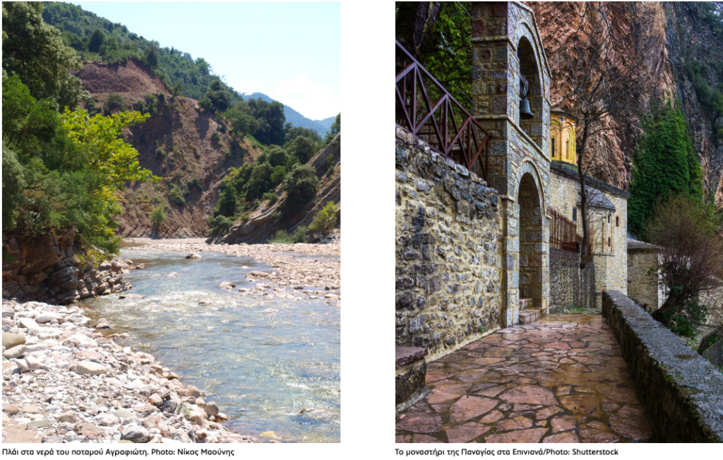
At times, the road runs alongside the river, flanked by lush, dense plane trees that beckon you to stop and refresh yourself. At other times, it climbs steep heights with a sheer drop on the left, making you feel like you’re in the middle of nowhere. But at the same time, you’re surrounded by a breathtaking landscape that truly leaves you in awe. With the pleasant weather, we stopped by the Agrafiotis River to dip our feet in its cool waters—its shallow depth made it a perfect spot for a refreshing break.
Reaching Agrafa
Towards the end of the road and after a small detour to the right, we finally arrive at Agrafa. Along this unique route, the waters of the Acheloos, Megdova, and Agrafiotis rivers intersect frequently, while springs provide refreshing cold water. The landscape alternates between steep cliffs, shaded gorges, and plane-covered mountain peaks, creating a rare natural relief of stunning beauty.
From here, roads lead to the mountainous villages of the region, which seem hidden among the lush slopes of Agrafa, with the stone and wood of their traditional homes blending harmoniously into the landscape.
It’s worth planning a visit to Kerasochori, Mavromata, Marathos—the birthplace of 1821 hero Katsantonis—Tridendro, Trovato (at an altitude of 1,060 meters on the slopes of Mt. Delidimi), or the historic village of Vrangiana, famous for the school founded there in 1662 by Eugenios Yiannoulis the Aetolian, a prominent figure in Greek education. You should also visit Epiniana, a pastoral village at 1,100 meters, or the beautiful village of Monastiraki, located on the southern slopes of Mt. Fteri.
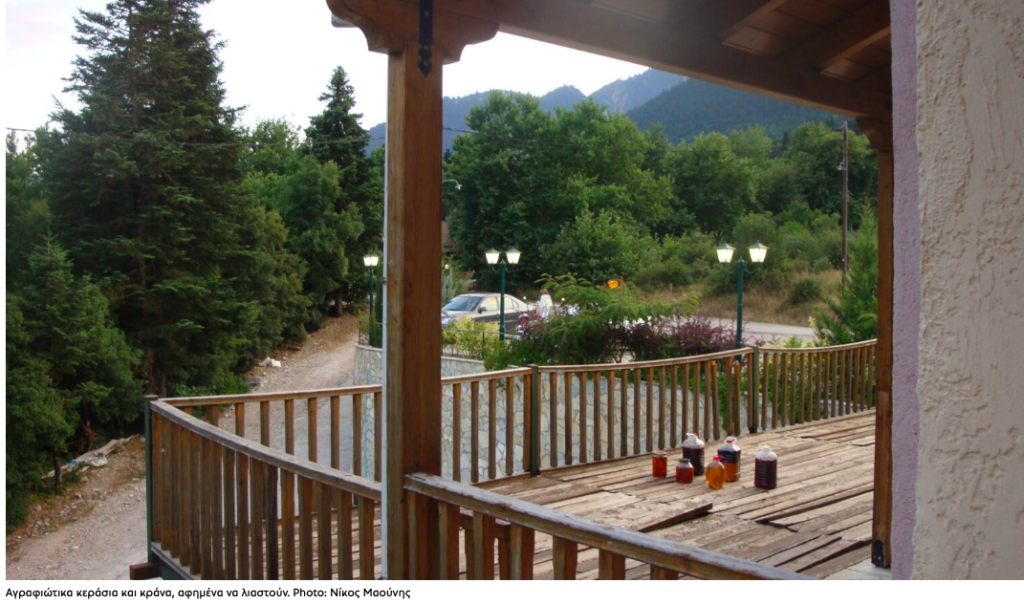
Agrafiotis cherries and dogwood berries are left to dry in the sun. Photo: Nikos Maounis
Products of the Agrafa Land
Agrafa has long been famous for its livestock farming, which produces its renowned goods such as the famous feta cheese, the soft white cheese “tsalafouti,” local butter, and top-quality meats, as well as exceptional honey. You can also gather aromatic herbs like oregano, linden, and sage, or fish for trout in their river waters. Depending on the season, you’ll also find walnuts, chestnuts, grapes, cherries, wild strawberries, and cornelian cherries.
Ask me anything
Explore related questions
