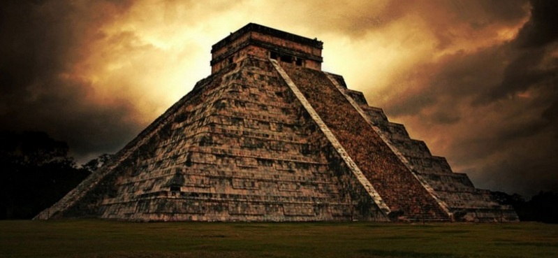
Renowned for their precision, vision, and place in time, Mesoamerican calendars have long been held up as an example of the early advancement of the civilizations of the indigenous people of North, South, and Central America. A new study has found that some of the great Mesoamerican peoples and cultures, the Maya and the Olmecs for example, were using the calendar over 3,000 years ago, around 1100 BC, several centuries earlier than previously thought.
The new study, published in the latest edition of the journal Science Advances , focused on the most famous 260-day cholq’ij (order of the days) calendar, used by these cultures along Mexico’s southern Gulf Coast as early as 3,100 years ago. Star-aligned ceremonial centers were built to keep track on this shorter calendar, with the oldest written evidence of this calendar earlier found on painted plaster mural fragments from a Maya site in Guatemala, between 300 and 200 BC.
Paleontologist accused of making up data on Dinosaur-killing asteroid impact
The scientists employed the use of aerial surveys using LiDAR (Light Detection and Ranging) technology over an area of 32,641 square miles (84,516 square kilometers). In addition, these orientations were studied on a Digital Elevation Model (DEM), which was derived from the LiDAR. These were processed using ArcGIS software and other kinds of visualizations that crunch LiDAR data to create high resolution images of the earth’s surface, even bypassing dense vegetation like that of the Amazon rainforest .
Read more: Ancient Origins


