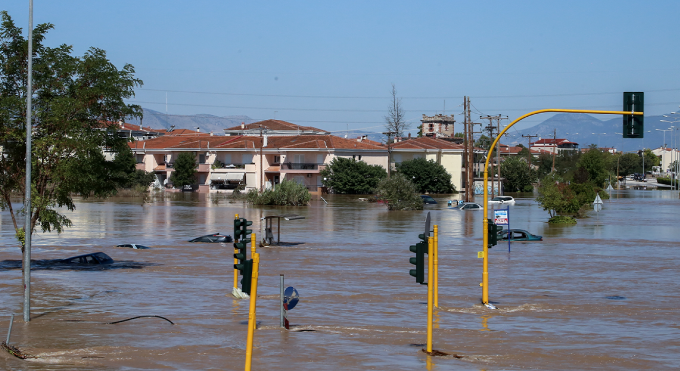
Today’s weather will change due to the rapid passage of low-pressure systems coming in from the west and moving towards the east resulting in relatively short duration of bad weather.
The Hellenic National Meteorological Service (EMY) has issued a Special Weather Bulletin, that reads:
Today, Friday (19-04-24), a low-pressure system in the west will move eastward and is expected to cause low weather temperature in most parts of the country beginning from early afternoon until Saturday noon (20-04-24) with heavy rain and thunderstorms and frequent lightning and local hailstorms.
New Democracy’s unity, Kyriakos Mitsotakis on tour to strengthen party’s presence
This weather phenomena coming in from the west and will quickly spread to central and northern mainland Greece, the Sporades, Evia, the Cyclades, the eastern Aegean, and possibly western Crete and over to the Dodecanese.
Winds will be strong, reaching speeds of 7 -8 on the Beaufort scale.