Related Stories

Clear weather is expected across the country on Sunday, however, a new wave of bad weather is forecast from Monday.
Some forecasts even predict a significant drop in temperatures both next week and in ten days with a possible invasion of polar air masses.
As the director of the National Meteorological Service, Thodoris Kolydas, says in a post, the barometric low which from Sunday is created in the Gulf of Leo will begin to affect Italy mainly from the afternoon, while in Greece a change in the weather from the west from noon-afternoon Monday.
The post by Thodoris Kolydas on the upcoming bad weather:
“WEATHER RESPITE ON SUNDAY – FROM MONDAY AFTERNOON “AT WORK” ☔️
✅The barometric low which from tomorrow is created in the Gulf of Leo will begin to affect Italy mainly from the afternoon, while in our country a change of weather from the West is predicted from Monday afternoon.
✅Sunday, however, will see generally improved weather and above normal temperatures.
The meteorologist Clearchos Marousakis, for his part, spoke of polar cold in Greece that is expected to make its appearance at the end of the first ten days of March, when a polar air mass will enter Europe.
In fact, as he pointed out, “it is not excluded there on 10 to 12 March to reach Greece and make a winter scene”.
The weather on Sunday
GENERAL CHARACTERISTICS
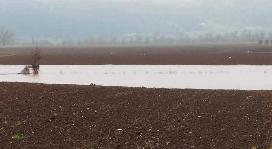
Clouds, partly cloudy in the morning on the eastern Aegean islands, eastern Macedonia and Thrace, and in the afternoon on the rest of the mainland and Crete, with local showers or rain and isolated thunderstorms in the northeastern mainland.
Visibility in the morning and evening hours will be locally limited and fog will form in places, mainly in the west and north.
Winds will blow in the south from westerly directions at 4 to 6 Beaufort. In the rest of the country it will be variable 3 to 4 Beaufort and gradually southerly with the same intensity.
The temperature will not change significantly. It will reach 16 to 17 degrees Celsius in the northern mainland and 18 to 19 degrees Celsius in the rest of the country.
MACEDONIA, THRACE
Weather: in eastern Macedonia and Thrace clouds, partly cloudy with local rain and isolated thunderstorms in the early morning hours and again in the afternoon, while improvement is expected from the evening. In the remaining areas, a few clouds, partly increasing in the afternoon and evening hours, with localised showers and possibly occasional rain.
Winds: Variable 3 to 4 Beaufort.
Temperature: From 07 to 17 degrees Celsius.
In western Macedonia the minimum will be 3 to 4 degrees lower.
IONIAN ISLANDS, EPIRUS, WESTERN SOLID, WESTERN PELOPONNESE, WESTERN PELOPONNESE.
Weather: a few clouds in the midday and afternoon hours in the continental areas, when local rain or occasional rain is possible.
Winds: Variable 3 to 4 Beaufort and gradually in the north south to 5 Beaufort and in the south west with the same intensity.
Temperature: From 09 to 18 degrees Celsius. In the interior of Epirus 3 to 5 degrees lower.
EASTERN SOLIDIA, EUBOEA, EASTERN PELOPONNESE
Weather: a few clouds, partly cloudy and partly cloudy in the afternoon and evening hours, with the possibility of local rain or occasional rain in the mountains.
Winds: From westerly directions 3 to 5 and in the south locally up to 5 Beaufort.
Temperature: From 09 to 19 degrees Celsius.
CYCLADES, CRETE.
Weather: a few clouds, partly cloudy, mainly in the midday and afternoon hours in Crete, with local rain or rain in the mountains.
Winds: From westerly directions 4 to 6 Beaufort.
Temperature: From 13 to 19 degrees Celsius.
Queen Letizia: With Felipe at the memorial service of the former King Constantine – Photos
EASTERN AEGEAN ISLANDS – DODECANESE
Weather: clouds in the eastern Aegean islands until noon, when local showers will occur.
Winds: In the eastern Aegean islands variable 3 to 4 Beaufort. In the Dodecanese from westerly directions 3 to 5 Beaufort from the west.
Temperature: From 13 to 19 degrees Celsius.
THESSALY
Weather: a few clouds, partly increasing in the midday and afternoon hours, when local rain or occasional rain in the mountains is possible.
Winds: Variable 3 to 4 Beaufort and from the evening south with the same intensity.
Temperature: From 07 to 17 degrees Celsius.
ATTICA
Weather.
Winds: From westerly directions 3 to 4 Beaufort and gradually variable with the same intensity.
Temperature: From 12 to 18 degrees Celsius.
THESSALONIKH
Weather: a few clouds, partly cloudy and partly cloudy.
Winds: Variable 3 to 4 Beaufort.
Temperature: From 10 to 17 degrees Celsius.