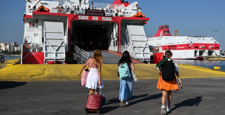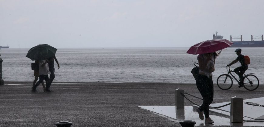
Storms, intense rainfall and hail in many cases are forecast over the next three days by the HNMS, as a weather front named “Antinoos” has already descended on Greece.
The new extreme weather phenomena are caused by the cold air masses in the middle and the upper atmosphere, which is moving towards Greece causing severe phenomena. Antinoos will affect many areas of the country, while hail and intense winds are expected locally.
For Monday, increased cloudy paths are expected, with rains and sporadic storms in mainland Greece, the Central Ionian Sea and possibly temporarily in the Cyclades. Local intense phenomena are forecast at midday and afternoon in central Greece and the Peloponnese and in the evening in Thessaly, Western Macedonia, and Central Macedonia. Transient hail is quite likely to occur in Macedonia, Thrace, and the Eastern Peloponnese.
In Attica, rains and local thunderstorms are forecast The phenomenon may be temporary. Winds will be mild, while the temperature will range from 22 to 29 degrees.
In the city of Thessaloniki is temporary clouds are expected with a low probability of temporary rain or storm during the warm hours of the day and an increased probability of storms. The temperature will range from 18 to 30 degrees.
For Tuesday, the Ionian and mainland Greece are expected to have cloudy weather with local rains and after midday sporadic storms, probably in the continental, with eastern Macedonia and Thrace forecast to be hit by severe storms.
On Wednesday, we expect sparse clouds in the northwest, locally elevated in the morning with local rains and a possibility of storms in elevated areas in mainland Greece.