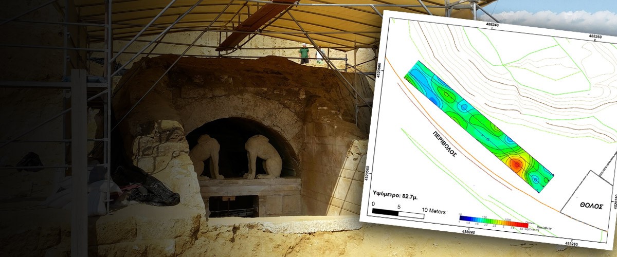
The digital model of the Casta hill in Amphipolis that was created by the research team conducting the geophysical and geological mapping of the area reveals more promising sites for excavation, according to a new announcement by the Greek Ministry of Culture.
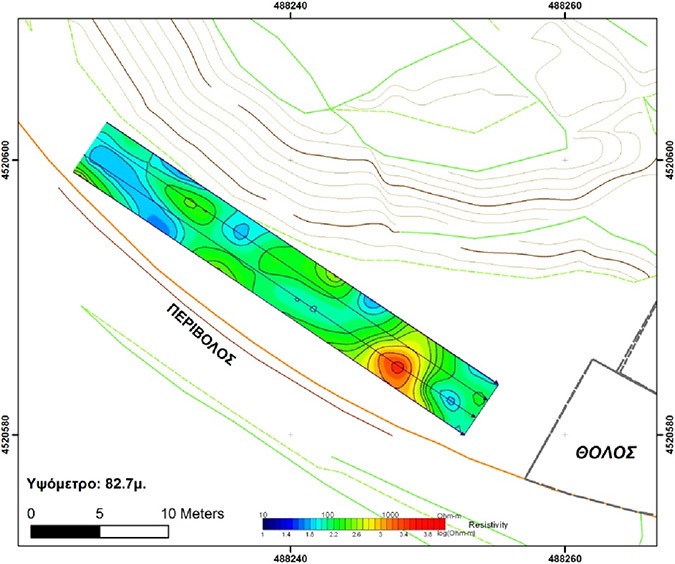
More specifically, the Ministry said that the research team, headed by by Gregorios Tsokas, Director of the Laboratory of Applied Geophysics of the Aristotle University of Thessaloniki, has created a digital simulation (model) of the territory, as it was before the construction of the tomb.
The comparison of the model with the present situation and the situation before the recent excavations revealed that the largest part of the hill consists of natural formations.
However, the Ministry noted that the model is not complete yet. Boreholes are to be drilled for geotechnical purposes and the resulting data will be integrated in the simulation.
“The images of the hill’s interior produced by electrical tomography show static structures, which may be ancient constructions. Therefore, archaeological investigation is required at the points where these appear,” said the Ministry.
Ask me anything
Explore related questions


