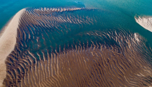
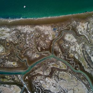
“Water.Shapes.Earth” is a spectacular photographic project from veteran artist and storyteller Milan Radisics. The project tells the story of how water shapes the planet by using aerial photography to deliver a series of stunning images that sit on the border between abstract art and documentary realism.
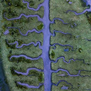
The ongoing series currently spans eleven countries and while, so far, the project has centered mainly on European locations, Radisics is planning on photographing areas of Africa, South America and India in the very near future.
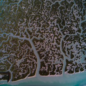
The project is structured as a story with seven primary chapters, or topics. These topics cover the entire story of Earth and water, beginning with melting glaciers and ending with drought that has left us with the patterns and remnants of long lost streams and rivers.
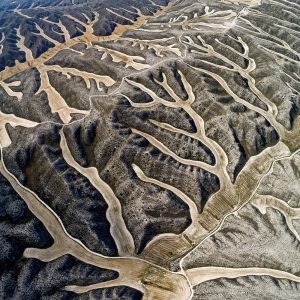
Research for each prospective photographic location begins with a large scout using Google Earth. “For each selected region,” Radisics explains, “I scan through the satellite pictures. That way, after hours of research, I may come across something truly remarkable which is also appropriate for the project. When this occurs, I dive into the location and continue the search personally on site.”
Read more HERE
Ask me anything
Explore related questions
