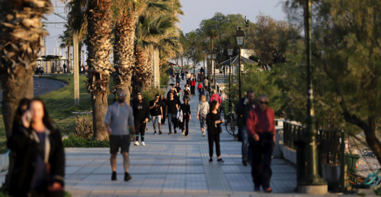
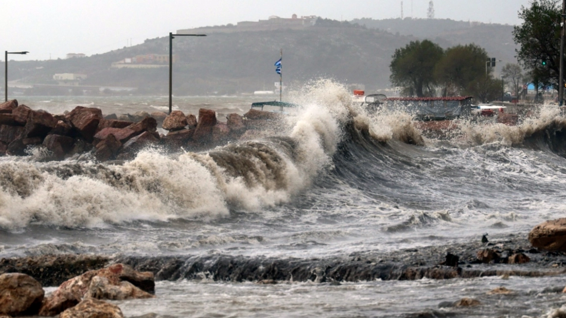
The weather will be unstable in most parts of the country until Wednesday (15/5), however, from Thursday (16/5) the temperature will start to rise and will be above normal, according to meteorologists.
In particular, as the director of EMY, Thodoris Kolydas, points out, from Thursday temperatures above 30°C will be recorded in the west, central and south. In fact, locally it will reach 31 to 32°C and maybe even a little more at the end of the week.
But because there will be increased cloud cover in many areas, the mercury may “brake” and we may not see such high values in all areas, he concludes.
See his post:
Chatraphyllis: Subtropical airmass brings long-lasting heat and significant amounts of African dust
At the same time, according to meteorologist, George Tsatrafillas, “the subtropical airflow (river of air in the upper atmosphere) brings remarkable heat with duration and significant amounts of African dust to our region.”
As he states in a post: “the circulation of the atmosphere in our region from Wednesday 15/5 onwards favours the transfer of dust and warm air masses from the African coast to our region.
This heat wave is not excluded to last until the middle of next week with the mercury shooting from Friday onwards 10 to 12 degrees above normal for the season.
The areas that will be affected by this wave initially are western and southern Greece with temperatures slightly above 30 degrees and from Saturday 18/5 onwards the heat prone areas with temperatures above 35 degrees such as Crete (mainly), Boeotia, Fthiotida, Achaia, Ilia, Argolida, Dodecanese.
In Attica during the Saturday weekend we will exceed 30 degrees, while in Thessaloniki 27 degrees”.
Arnaoutoglou: In which areas rains are expected
At the same time, Sakis Arnaoutoglou in his post, quotes maps with which he informs us about the chances of rain in the following days.
Detailed weather on Tuesday, according to EMY
In Macedonia, Thessaly, the northern parts of eastern Central Greece and Evia and quickly in Thrace, partly cloudy with local rain and in the midday and afternoon hours possibly isolated thunderstorms mainly in the mountains. In the evening the rains will be limited in the north.
Piers Morgan cornered the representative of the Israeli government about civilian casualties in Gaza
In the rest of the country, thin clouds are forecast, which will quickly become thicker in the Ionian and the mainland and later in the Aegean, with local rain and local rain showers in the midday and afternoon hours in the mainland mountains and in the mountains of Crete.
Visibility in the morning and evening hours mainly in the west will be locally limited.
Winds will blow in the west from southerly directions 2 to 4 and occasionally locally up to 5 Beaufort, in the north from easterly directions 3 to 5, in the east from northerly directions with the same intensity and in the southeastern Aegean Sea occasionally up to 6 Beaufort.
The temperature will rise slightly in the west and will reach 25 to 26 and locally 27 degrees Celsius, in the north and the islands 22 to 23 degrees Celsius and in the rest of the mainland and Crete 23 to 26 degrees Celsius.
Ask me anything
Explore related questions


