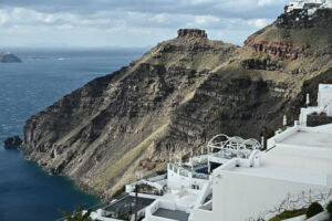
The Interdisciplinary Committee for Risk and Crisis Management of the National and Kapodistrian University of Athens (EKPA) is conducting a systematic survey of the relief of Santorini, to identify areas of increased landslide risk.
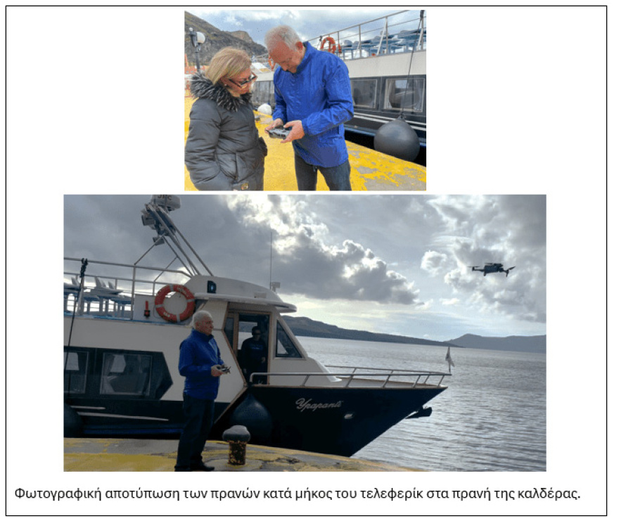
Professor Ethymios Lekkas and his team have been monitoring the evolving seismic sequence and its accompanying phenomena on the island of Santorini from the beginning. In the previous days, together with Professors Niki Evelpidou and Asimina Antonarakou, he carried out field surveys in the countryside, assessing the landslide risk and calibrating the prediction models, while other missions for the monitoring and detailed recording of the phenomenon will follow.
The numerous earthquakes recorded to date have caused slope destabilization in several areas. This risk is attributed to the steep morphological gradients, the composition of the rocks, and the alternation of materials with different resistance to erosion. In addition, human activities further aggravate already vulnerable areas.
Of particular concern are areas of differential erosion, where the less resistant rocks are eroded, leaving exposed the more resistant layers, which then collapse. A typical example is volcanic lavas, which often lose their support from the underlying rock, leading to collapse.
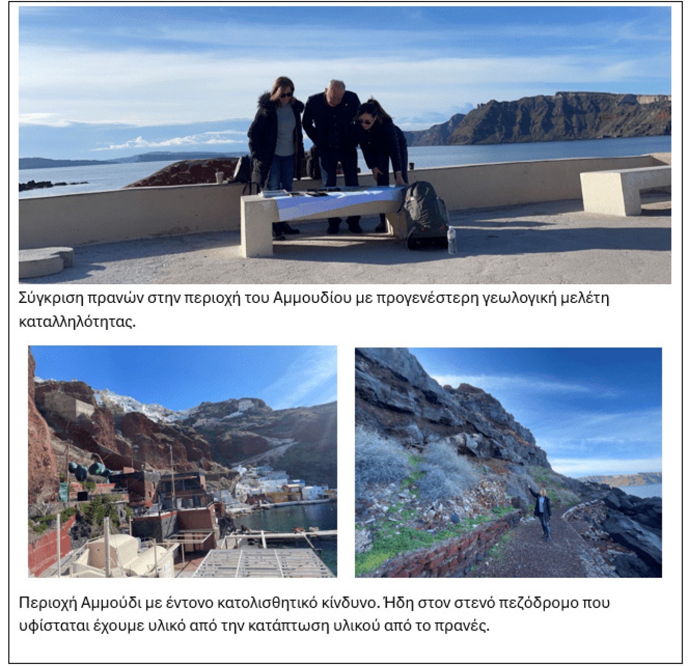
The research team has already identified specific areas of increased risk and has conducted field visits to record and map them.
It is important to emphasize that slope destabilization can lead to landslides even after seismic activity has ceased. Heavy rainfall can act as a catalyst, accelerating the failure processes.
The Commission continues to investigate and monitor these areas, aiming to promote targeted interventions and enhance the safety of residents and visitors to the island. At the same time, it examines the vulnerability to landslide risk both in Santorini and in the neighbouring islands.
Ask me anything
Explore related questions