According to meteorologist Theodoros Kolydas, the weather is expected to be rainy with southerly winds until Friday.
As highlighted in a post by the director of the Hellenic National Meteorological Service (EMY), temperatures will remain within normal seasonal levels through early next week, with localized morning fog in mainland areas.
Winds will be southerly until Friday, later shifting to northerly but not exceeding 4 to 5 Beaufort. “Rainfall is expected until Friday in the western, southern regions, as well as the islands of the eastern Aegean and the Dodecanese,” Kolydas noted.
🎯Η ΠΡΟΟΠΤΙΚΗ ΤΟΥ ΚΑΙΡΟΥ
— Theodoros Kolydas (@KolydasT) February 25, 2025
✅ Με κανονικές για την εποχή θερμοκρασίες θα κυλήσει ο καιρός μέχρι και τις αρχές της ερχόμενης εβδομάδας με τοπικές ομίχλες τις πρωινές ώρες στα ηπειρωτικά.
✅ Οι άνεμοι θα είναι νοτιάδες έως την Παρασκευή , ενώ αργότερα θα στραφούν σε βορείους με… pic.twitter.com/83etB5TiBd
Detailed Forecast for Wednesday (According to EMY)
Cloud cover will be temporarily increased, with light local rainfall, which will intensify in the evening in the west and gradually in the eastern Aegean. Scattered thunderstorms are also expected, mainly in the Ionian Sea. Visibility will be locally limited in mainland areas during the morning and evening hours. Winds will be from the south at 3 to 4 Beaufort, increasing to 4 to 5 Beaufort in the Ionian Sea by the evening.
Temperatures will rise slightly, remaining within normal seasonal levels. Northern regions will see highs of 10 to 12°C, while the rest of the country will experience temperatures between 15 and 17°C.
MACEDONIA, THRACE
- Weather: Partly cloudy with a chance of light local showers until the afternoon.
- Winds: Variable at 3 to 4 Beaufort.
- Temperature: Ranging from 1°C to 11–12°C.
IONIAN ISLANDS, EPIRUS, WESTERN CENTRAL GREECE, WESTERN PELOPONNESE
- Weather: Periods of increased cloud cover with light local rain. In the evening, rainfall will intensify, with scattered thunderstorms developing over the Ionian Sea.
- Winds: In the north, southerly to southeasterly at 3 to 4 Beaufort, strengthening to 4 to 5 Beaufort by the evening. In the south, winds will be westerly to southwesterly at 3 to 4 Beaufort, shifting to southerly-southwesterly at 5 Beaufort locally in the evening.
- Temperature: Between 5°C and 17°C, with interior regions of Epirus experiencing temperatures 3 to 4 degrees lower.
EASTERN CENTRAL GREECE, EUBOEA, EASTERN PELOPONNESE
- Weather: Partly cloudy with a chance of light local showers until the afternoon.
- Winds: Variable at 3 to 4 Beaufort, shifting to southerly-southwesterly and temporarily reaching 5 Beaufort in some areas in the afternoon.
- Temperature: Between 6°C and 16°C.
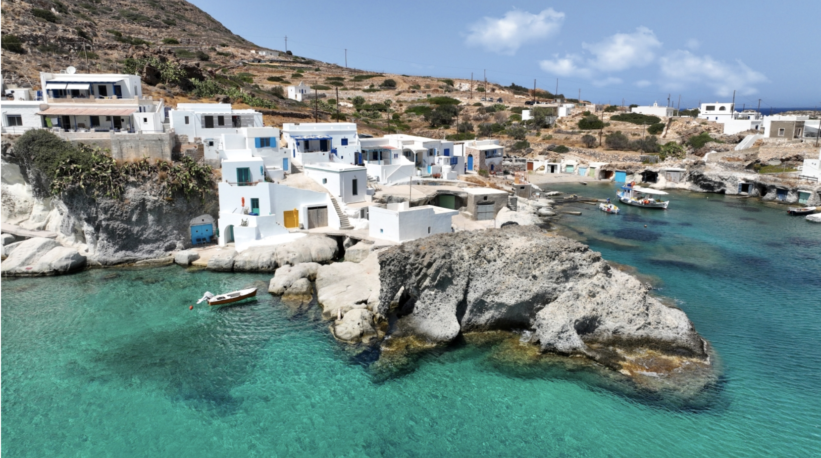
CYCLADES, CRETE
- Weather: Partly cloudy with occasional light local showers.
- Winds: Variable at 3 to 4 Beaufort, shifting to southerly in the evening, reaching 5 Beaufort locally in the Cyclades.
- Temperature: Between 9°C and 17°C.
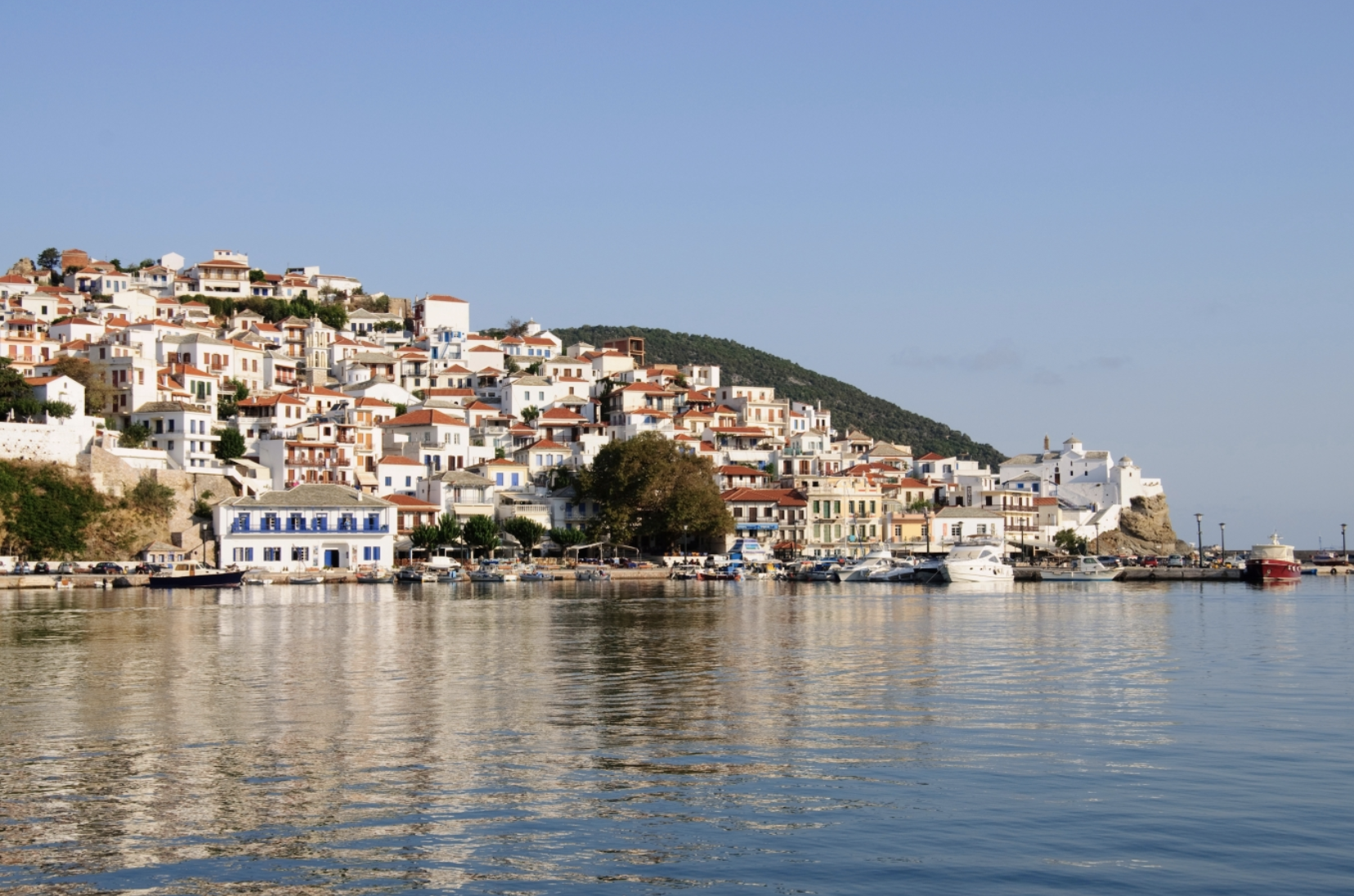
EASTERN AEGEAN ISLANDS, DODECANESE
- Weather: Partly cloudy with light local showers, mainly over the eastern Aegean islands, where rainfall will intensify in the evening.
- Winds: Southerly-southeasterly at 3 to 4 Beaufort, increasing to 4 to 5 Beaufort in the eastern Aegean during the evening.
- Temperature: Ranging from 10°C to 16°C, locally reaching 17°C in the south. In the north, maximum temperatures will be 2 to 3 degrees lower.
THESSALY
- Weather: Partly cloudy with a chance of light local showers until the afternoon.
- Winds: Variable at 3 to 4 Beaufort.
- Temperature: Between 4°C and 14°C.
ATTICA
- Weather: Partly cloudy with a chance of light local showers until the afternoon.
- Winds: Variable at 3 to 4 Beaufort, shifting to southeasterly in the afternoon at the same intensity.
- Temperature: Between 7°C and 15–16°C.
THESSALONIKI
- Weather: Partly cloudy with a chance of light local showers until the afternoon.
- Winds: Southeasterly at 3 to 4 Beaufort.
- Temperature: Between 6°C and 12°C.
Forecast for Thursday (February 27)
Cloud cover with local rain, initially affecting the west, the eastern and southern island regions, and gradually extending to other areas. Scattered thunderstorms will develop initially in western maritime and coastal regions, and later in the afternoon in the eastern parts, mainly over the Cyclades, the eastern Aegean, and western Crete. Rainfall may be locally intense in the Ionian Islands. Light snowfall is expected in mountainous areas of Epirus and western Central Greece.
Winds will be southerly to southwesterly at 4 to 5 Beaufort, increasing to 6 Beaufort in maritime areas. Temperatures will rise slightly in the east, reaching 12–14°C in the north and 15–17°C in the rest of the country, locally climbing to 18°C in the Dodecanese.
Forecast for Friday (February 28)
Cloud cover with rain in the north and the Aegean, with sporadic thunderstorms mainly over the eastern Aegean islands and the Dodecanese. Until midday, storms in the Dodecanese may be intense but will gradually weaken. Elsewhere, skies will be partly cloudy with occasional local showers. Visibility in mainland areas will be locally limited during the morning and evening hours.
In the west, winds will be light and variable, gradually shifting to northwesterly at 4 to 5 Beaufort in the Ionian Sea. In the east, winds will initially be southerly at 4 to 5 Beaufort, later turning northerly with the same intensity, first in the north and gradually extending to other regions.
Temperatures will remain stable, with no significant changes.
Ask me anything
Explore related questions