On the eastern, arid side of the Andes, the plains of southern Argentina stretch from the mountains to the Atlantic coast.
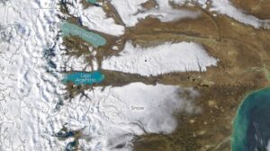
The landscape often appears dry and brown, interrupted by colorful lakes fed by glaciers, but a storm in early April 2026 covered large areas of land with snow. A NASA satellite captured this image of the snow-covered Patagonian desert on the morning of April 3, with the images released today.
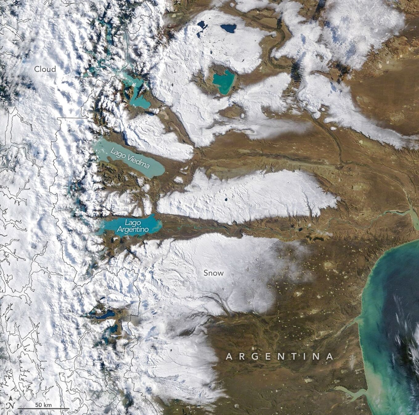
Early autumn was wetter than usual in southern Patagonia, said an atmospheric scientist from the University of Chile, noting that satellite-based estimates showed above-average rainfall from late March to early April. Most of the region’s precipitation typically falls on the western side of the Andes, he said. “However, strong winds can carry some of the snow eastward, toward the Argentine side, as beautifully captured in the satellite image.”
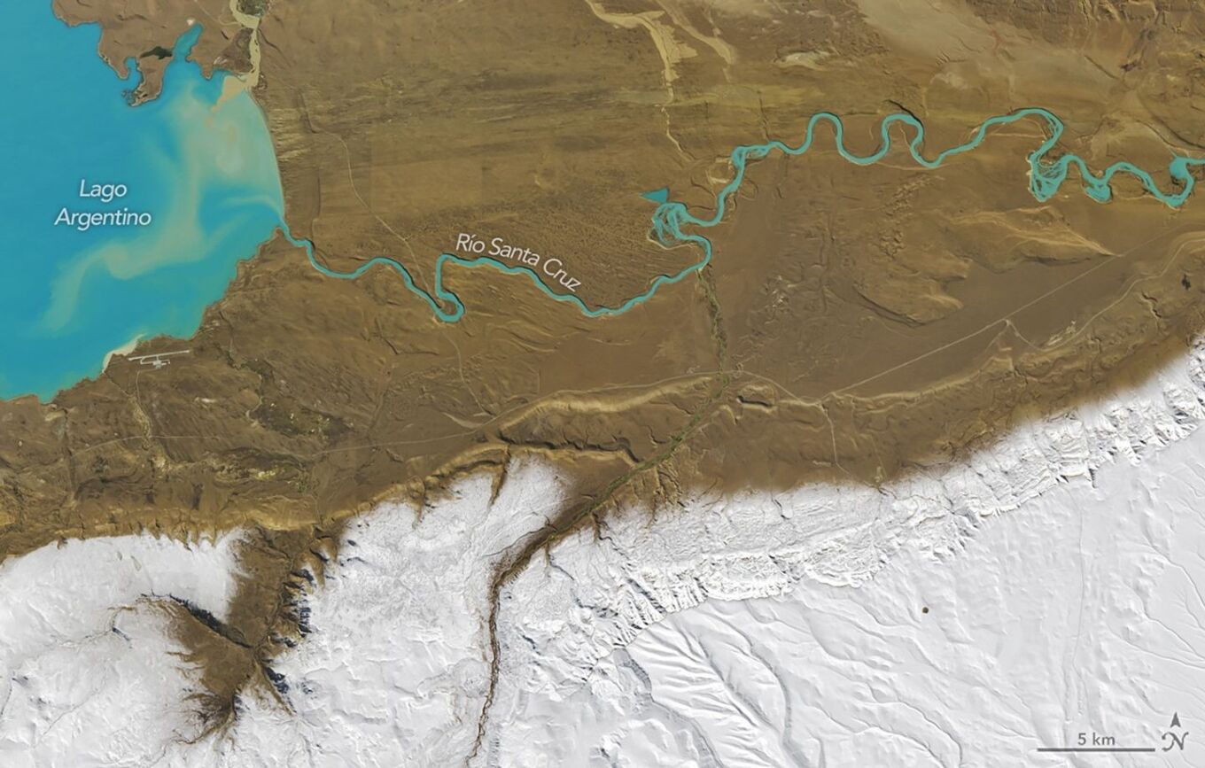
Snow covers the higher elevations, while the valleys that drain the large glacial lakes remain bare. In this detailed Landsat image, a distinct snow line appears along the outlet of Lake Argentino.
Stunning NASA Satellite Images Show Snow-Covered Patagonia Desert
Lake Argentino and nearby lakes contain abundant fine sediment, or glacial flour, ground down by the many glaciers of southern Patagonia. This suspended sediment gives the lakes a milky blue or turquoise appearance.
Although snow had blanketed much of the desert after the early-season storm, the winter-like scene was short-lived. A satellite image from the afternoon of April 4 showed that the snow had melted everywhere except in the highest mountain areas.
Ask me anything
Explore related questions