





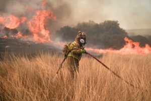
An extreme wildfire risk has been forecast for Friday, August 1, in Attica and Evia (Euboea), according to Greece’s Civil Protection authorities.
Specifically, the General Secretariat for Civil Protection has issued the following Fire Risk Forecast Map for Friday:
Extreme Wildfire Risk – Alert Level 5
The highest wildfire danger (Category 5) is forecast for:
- Region of Attica
- Region of Central Greece – Regional Unit of Evia
Very High Wildfire Risk – Category 4
A very high wildfire risk (Category 4) is also expected in the following areas:
- Region of Attica (including the island of Kythira)
- Region of the Peloponnese (Regional Units of Corinthia, Argolis, Arcadia, and Laconia)
- Region of Central Greece (Regional Units of Boeotia, Phthiotis, Phocis, and Evia, including the island of Skyros)
- Region of the North Aegean (Regional Units of Lemnos, Lesbos, and Chios)
- Region of the South Aegean (Cyclades Regional Units)
- Region of Crete (Regional Units of Rethymno and Chania)
- Region of Western Greece
- Region of Eastern Macedonia and Thrace (Regional Units of Rhodope and Evros, including the island of Samothrace)
Authorities urge residents and visitors in affected areas to exercise extreme caution, avoid activities that could spark a fire, and follow all instructions issued by the Civil Protection services.
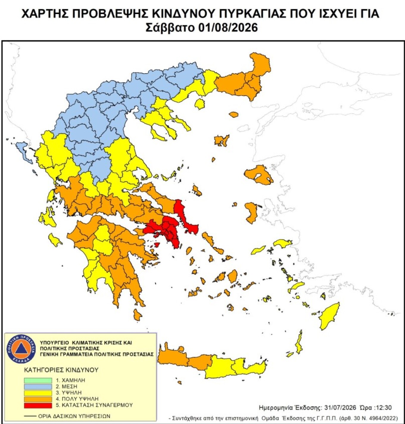
Photo: Nick Paleologos / SOOC
Ask me anything
Explore related questions




