




Ankara reacted in record time to the issuance of the Greek NAVTEX, with the Antalya Station issuing its own NAVTEX 1105/26, in which it claims that part of the area covered by the Greek announcement concerns an area of the Turkish continental shelf, once again referring to the unilateral submission of coordinates to the United Nations (18 March 2020).
Ankara also states that it has not granted its consent for the research activity referred to in the Greek announcement, which it characterises as “unauthorised”.
Finally, it puts forward the demand that all research activities in areas of “Turkish maritime jurisdiction” be coordinated with the competent Turkish authorities.
The references in the Turkish NAVTEX raise questions about whether coordination with France has indeed taken place, and whether Turkey is ultimately not satisfied with being informed or notified, but is demanding that its consent be sought before the surveys are conducted, with all that this entails for the uninterrupted resumption of research by the French vessel.
The Greek NAVTEX
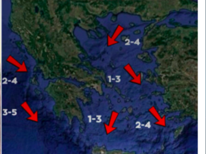
The Greek NAVTEX covers the entire route along which the cable is to be laid, extending all the way to the Cypriot Exclusive Economic Zone (EEZ). Surveys have already been carried out in the areas north of Crete, which also include international waters, even after the incident off Kasos. The main remaining section of the surveys concerns the area east of Kasos, up to the boundaries of the Cypriot EEZ.
The Ministry of Foreign Affairs announcement
As the Ministry of Foreign Affairs emphasises in its announcement, the prescribed licensing procedures by the competent Greek authorities have been completed for the execution of survey and cable-laying works within the framework of the Greece–Cyprus electricity interconnection (GSI), following a relevant request submitted by the French company NEXANS, on behalf of GSI, the company responsible for the project.
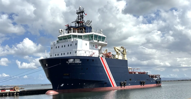
More specifically, following a favourable opinion from the competent Interministerial Committee for the Granting of Permits for Marine Surveys (EXAETH), the Minister of Foreign Affairs today, 6 November 2026, issued the relevant decision authorising the survey and cable-laying works. Subsequently, the research vessel requested the issuance of the prescribed Notice to Mariners (NAVTEX) for the execution of the works, which was issued immediately.
This had been preceded by a telephone conversation between Foreign Minister G. Gerapetritis and his Cypriot counterpart, K. Kombos, within the framework of the close coordination between the two countries.
The Turkish counter-NAVTEX
However, a short while later, Ankara issued a counter-NAVTEX challenging the Greek announcement concerning the French research vessel that will carry out works for the Greece–Cyprus electricity interconnection, claiming that part of the area lies within the Turkish continental shelf and demanding its consent for the surveys to be conducted.
With counter-NAVTEX 1105/26, Ankara is bringing back into the discussion the letter it sent to the United Nations on 18 March 2020 (A/74/757), arguing that part of the survey area lies within the continental shelf it has unilaterally declared.
The next step in Turkey’s challenge is even more revealing. Ankara claims that it has not granted permission for these particular surveys, describes the Greek NAVTEX as “unauthorised” and demands that all research activities in maritime areas it considers to fall under its jurisdiction be coordinated with the Turkish authorities.
This constitutes a direct challenge to the authority of the Greek side, with Turkey attempting to present its own consent as a prerequisite for the works, invoking claims that Athens does not recognise. After all, the unilateral submission of coordinates to the United Nations does not constitute recognition of Turkish claims, nor does it amount to a delimitation of the continental shelf.
Ask me anything
Explore related questions