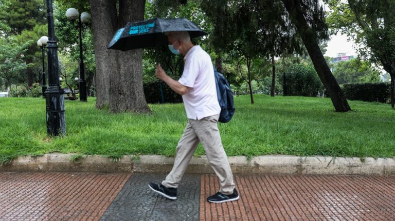
The Hellenic National Meteorological Service (EMY) issued an emergency bulletin of dangerous weather phenomena on Wednesday afternoon.
The beginning of the phenomenon is expected on Friday afternoon with the main characteristics of it being strong rainfall, storms and very stormy winds.
Bad weather in central and southern Greece from the afternoon of Thursday (17/09/2020) which will start from the southwest, with the main characteristics of heavy rains and storms and very strong winds.
More specifically:
On Thursday (17/09/2020) from the afternoon, in the southern Ionian and the Peloponnese mainly in its western parts.
On Friday (18/09/2020) in the southern Ionian, the Peloponnese, Sterea (including Attica) and Evia. From the afternoon in the west the phenomena will weaken, while in the evening the western Cyclades will be affected. In the Peloponnese and the eastern mainland the phenomena will be very strong.
On Saturday (19/09/2020) the intense phenomena will affect the eastern Peloponnese and the eastern Sterea, the Cyclades and possibly Crete. From noon on the eastern mainland and the eastern Peloponnese will gradually weaken.
Legal advocates line up on both sides of Bill Cosby’s appeal
Over 30 hotels set for auction across Greece
Ask me anything
Explore related questions

