
Related Stories
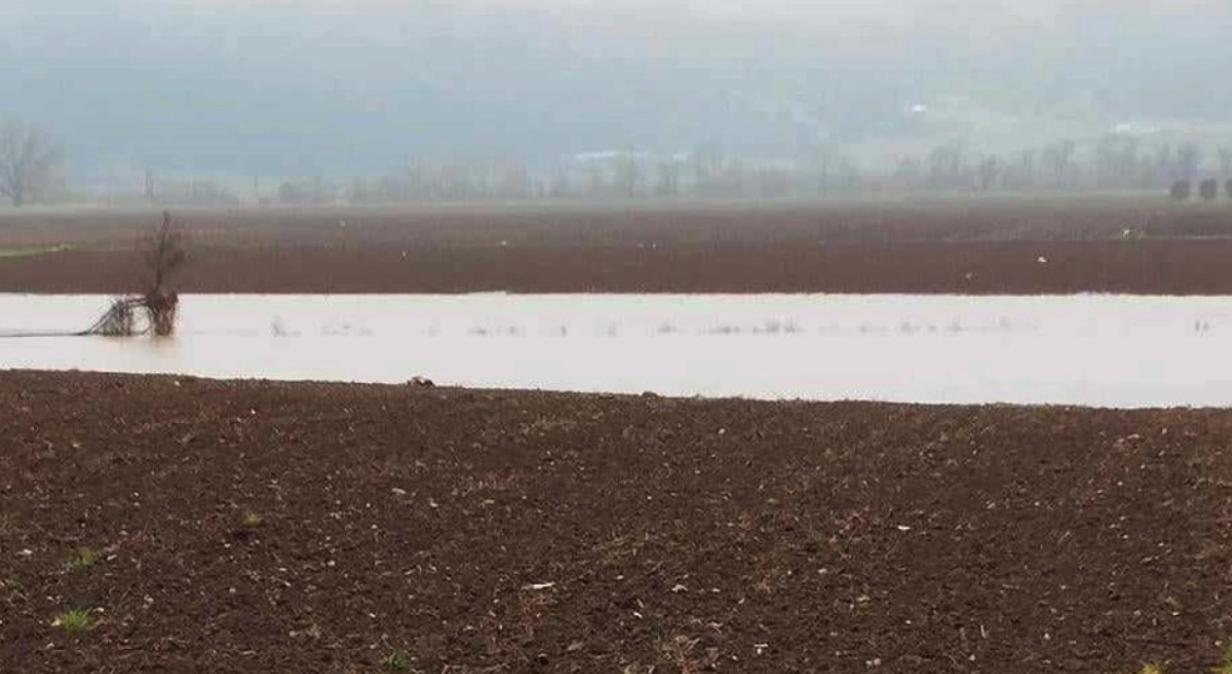

Rainy weather will continue in most parts of the country today with temperatures however showing a slight rise before dropping sharply, according to meteorologists.
The thermometer is expected to take a dive on “Tsiknopebti” this Thursday, with Sakis Arnaoutoglou saying in his forecast that “on Wednesday night towards the dawn of Tsiknopebti we will also have a relative drop in temperature.
So any rain in the lowlands, it is not excluded that they will have the form of sleet in the mountains, semi-mountains, perhaps some transient snowfall in mountainous areas.
In Epirus, western Thessaly and western Sterea, it will also bring some rain showers at low altitudes and snow showers in the mountains.”
For his part, Klearchos Marousakis on OPEN, spoke of polar cold coming from Ukraine at the end of the week.
“In the evening in the eastern parts the weather will deteriorate further because a cold front will pass from the northeast of the country, there will be a significant drop in temperature in eastern Macedonia, Thrace, the northern Aegean, we will see snow in mountainous areas.”
As he explained, the shifting of the barometric lows in the Turkish region opens the door to a polar air mass from Ukraine a little further south-southwest. According to the meteorologist, Friday and Saturday will be cold and after a long time the north wind will enter. From Sunday the weather will improve and warmer air masses will arrive.
According to the forecast of EMY director Thodoros Kolydas “today few phenomena are expected, while on Thursday the weather will be unstable mainly in the afternoon and afternoon in the west, central and northern areas. In the rest of the country the weather will be almost clear. On Friday phenomena mainly in the east and north and local snowfall in the central and northern mountains at altitudes above 1100 metres with a slight drop in temperature.”
🎯 ΥΠΟΧΩΡΕΙ Η ΚΑΚΟΚΑΙΡΙΑ- ΑΣΤΑΘΕΙΑ ΤΟ ΕΠΟΜΕΝΟ ΤΡΙΗΜΕΡΟ ΚΥΡΙΩΣ ΚΕΝΤΡΙΚΑ ΚΑΙ ΒΟΡΕΙΑ
✅ Πρόσκαιρα ισχυρά φαινόμενα κατά τόπους στην ανατολική Μακεδονία και τη Θράκη μέχρι σήμερα το απόγευμα και στα νησιά του ανατολικού Αιγαίου (νοτιότερα της Χίου) και στα Δωδεκάνησα μέχρι… pic.twitter.com/n9hYVtub4s— Theodoros Kolydas (@KolydasT) March 5, 2024
The weather today
Initially, showers and thunderstorms are expected on the East Aegean islands and the Dodecanese with improvement from the morning hours. In the rest of the country, locally increasing clouds are expected with localised showers in the southern mainland and in Crete. During the warmer hours of the day, showers and thunderstorms will occur in several continental areas. Some snow will fall in the northern highlands.
The temperature will range in Western Macedonia from -2 to 13 degrees Celsius, in the rest of Northern Greece from 2 to 15-17 degrees Celsius, in Epirus from 3 to 16-17 degrees Celsius, in Thessaly from 3 to 17-18 degrees Celsius, in the rest of the mainland from 5 to 17-19 degrees Celsius, in the Ionian Islands from 7 to 17 degrees Celsius, in the North and Northeast Aegean islands from 7 to 16 degrees Celsius and in the Cyclades, the Dodecanese and Crete from 10 to 17-18 degrees Celsius.
In the North Aegean Sea, northeast winds will blow with 4-5 Beaufort winds with further weakening in the afternoon. In the rest of the Aegean and the Ionian Sea, winds will blow from the northwest at 4-5 Beaufort and locally in the southern seas at 6 Beaufort.
MACEDONIA, THRACE
Weather.
Winds: Variable 3 to 4 and in the east until noon northeast up to 5 Beaufort.
Temperature: From 06 to 16 degrees Celsius. In western Macedonia it will be 3 to 4 degrees lower.
IONIAN ISLANDS, EPIRUS, WESTERN SOLID, WESTERN PELOPONNESE, WESTERN PELOPONNESE.
Weather: a few clouds, occasionally increasing with local rain mainly in the midday hours when isolated thunderstorms will occur.
Winds: Variable 3 to 4 and in the Ionian Sea western northwestern up to 5 Beaufort.
Temperature: From 05 to 18 degrees Celsius. In the interior of Epirus 3 to 5 degrees lower.
EASTERN SOLIDIA, EUBOEA, EASTERN PELOPONNESE
Weather: a few clouds, partly increasing in the midday and afternoon hours with local rainfall.
Winds: From westerly directions 3 to 5 Beaufort.
Temperature: From 06 to 20 degrees Celsius.
CYCLADES, CRETE
Weather: a few clouds, partly cloudy with a possibility of localized light rain.
Winds: Western northwestern 4 to 6 Beaufort and in the evening in the west western southwestern with the same intensity.
Temperature: From 10 to 18 degrees Celsius.
EASTERN AEGEAN ISLANDS – DODECANESE
Weather: cloudy with local rain and in the early morning hours in the Dodecanese isolated thunderstorms. Gradual improvement from midday.
Winds: From northerly directions 3 to 5 and in the south locally 6 Beaufort.
Temperature: From 09 to 19 degrees Celsius.
THESSALY
Weather: a few clouds, partly increasing in the midday and afternoon hours when local rain and possibly isolated thunderstorms will occur.
Winds: Variable 3 to 4 and in the east southeast up to 5 Beaufort.
Temperature: From 05 to 17 degrees Celsius.
THESSALONIKI
Weather: a few clouds, occasionally increasing with local rain from late afternoon.
Winds: Variable 2 to 4 Beaufort.
Temperature: From 08 to 16 degrees Celsius.
ATTICA
Weather: almost clear. Scattered clouds in the midday hours mainly in the north where local rain is possible.
Winds: Variable 3 to 4 Beaufort.
Temperature: From 07 to 19 degrees Celsius.
FORECAST FOR THURSDAY 07-03-2024
In Macedonia, Thrace and the northeastern Aegean clouds with local showers, while from noon there will be occasional thunderstorms. In the Ionian Sea, the western and central mainland and Crete, increasing cloudiness in the morning hours with localised showers in the Ionian Sea, Epirus and western Thessaly. Gradually until noon, clouds will develop in the rest of the continent and the Aegean with localised showers and isolated thunderstorms in eastern Thessaly, Sterea, Sporades, Evia and Crete. In the evening hours, the phenomena will decrease in the north and will continue to occur in the Ionian Sea, western Peloponnese and the Aegean Sea (mainly in the north and east).
Snow will fall in the northern and central continental highlands at altitudes above 900 metres.
In the remaining areas generally clear weather.
Winds in the west will blow northwest at 3 to 4 Beaufort and occasionally locally 5 Beaufort. In the south, winds will blow from westerly directions 4 to 5 Beaufort, increasing from noon to 6 Beaufort. In the remaining areas it will be variable 3 to 4 Beaufort and from the evening in the north it will become northeast with the same intensity.
The temperature will not change significantly. In the north it will reach 13 to 15 degrees Celsius, in the west 16 to 18 degrees Celsius and in the rest of the regions 19 to 20 degrees Celsius.
The drilling rig sets to work on the deposits of Crete
FORECAST FOR FRIDAY 08-03-2024
Initially cloudy with showers in the central and northern Aegean, Evia and in places in Thrace. Gradually from the midday hours the phenomena in the Aegean and Thrace will decrease, while clouds will develop in the rest of the mainland with local rainfall. In the evening hours the weather is expected to improve except in Macedonia and eastern Thessaly where the phenomena will persist.
Local snowfall will occur in the central and northern mountain ranges at altitudes above 1100 metres.
Winds will blow in the west from the northwest at 3 to 4 Beaufort with a tendency to weaken from the afternoon hours. In the southern seas initially westerly 4 to 6 Beaufort and from noon onwards north-westerly 4 to 5 Beaufort. In the remaining areas the winds will be north northeast with the same intensity.
The temperature will drop slightly.
FORECAST FOR SATURDAY 09-03-2024
In the eastern mainland, the Cyclades and Crete local clouds with a chance of light rain until noon. In the rest of the country generally clear with gradually increasing clouds in the central and western parts. In the evening in the northwest there will be local showers and possibly isolated thunderstorms.
Winds in the west will initially be variable up to 3 Beaufort and will gradually shift to the south and increase to 3 to 5 Beaufort. In the east, winds will blow from the north at 4 to 5 Beaufort and in the southeastern Aegean Sea locally at 6 Beaufort.
The temperature will not change significantly.
FORECAST FOR SUNDAY 10-03-2024
Cloudy with a chance of light rain until noon in the northwest. In the rest of the country generally clear with local clouds in the west and central areas.
Winds in the west will be south 4 to 6 and locally 7 Beaufort. In the southeast will blow northwestern 4 to 6 Beaufort, while in the rest it will be initially variable 3 to 4 Beaufort, while gradually turning to south with a tendency to strengthen.
The temperature will rise.