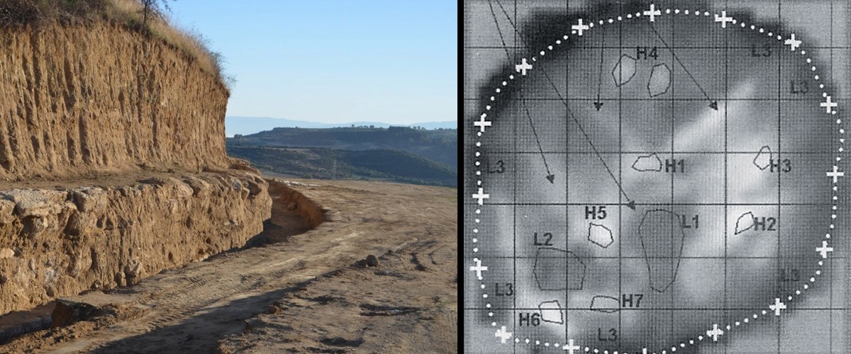
Seismic tomography was used at the ancient tomb of Amphipolis in 1998-1999 in order to image the area’s sub-surface characteristics and to understand its deep geological structure. The method was used by three geophycisists of the University of Patras – Lazaros Polymenakos, Stavros Papamarinopoulos and Athanasios Liosis – in collaboration with archaeologist Haido Koukouli-Chrysanthaki.
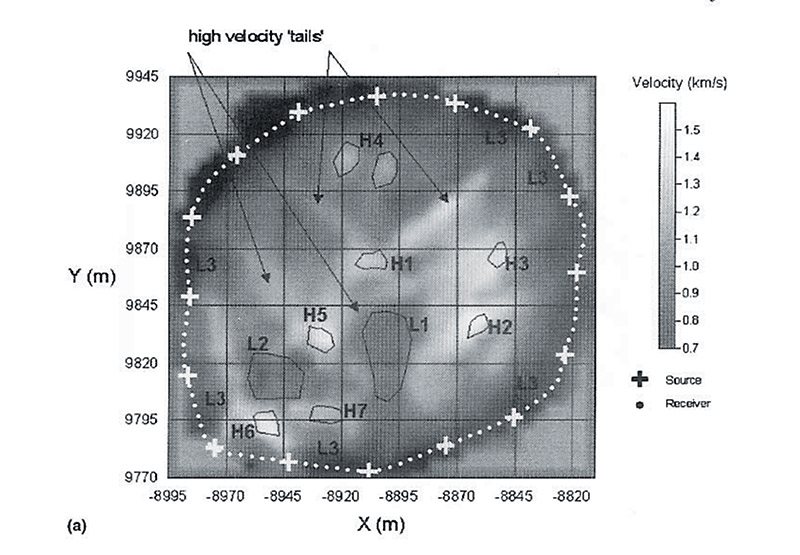
The areas marked H on the tomography show the location where a number of constructions are located. The archaeologist believes that the marked areas may be of importance though this cannot be verified with absolute certainty.
The geological study of the area was interrupted in 1999 due to lack of funds, however the results were published in Archaeological Prospection, a British journal for archaeology in 2004.
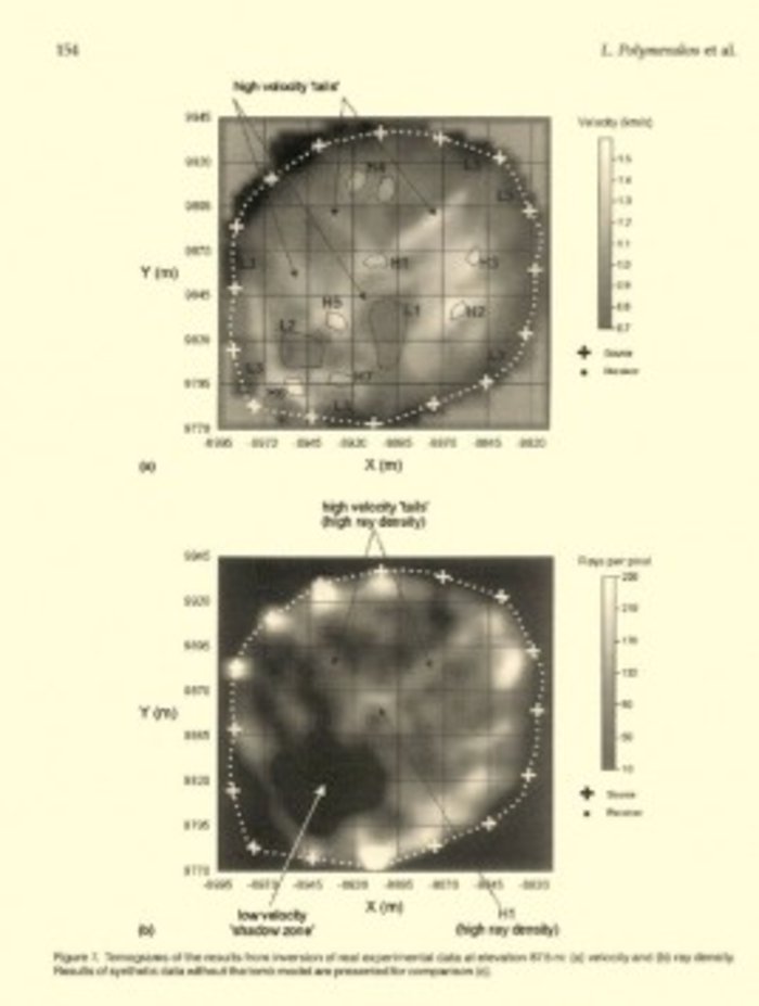
In the first picture, the symbol “H” points “high velocity” while in the second picture, the big gap appears to show the existence of the tomb
Ask me anything
Explore related questions


