The Turkish military listed 131 islands, islets and rock formations in the Aegean Sea whose status was disputed with neighboring Greece and prepared plans to take them over during a conflict, according to a confidential document obtained by Nordic Monitor.
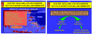
The secret document, a PowerPoint presentation with 16 slides, included a map with the disputed locations marked. The presentation appears to have been prepared by the War Academies and lacks a date stamp.
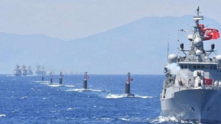
It was part of a study that focused on coordination among branches of the Turkish armed forces in a time of crisis between the two NATO allies and the odds against each one in a number of disputes in the Aegean and airspace. The presentation talks about how the Turkish military would move to take over the islands with the deployment of special forces from air and sea.
The secret document was found buried in the annexes of a case file in Izmir. Prosecutor Okan Bato seems to have dropped the ball by incorporating the secret plan into the evidentiary file when he was supposed to only make a brief note and put it away in a safe in the courthouse. Such documents can only be reviewed in a closed court setting presided over by a judge. The same document was also shared with another prosecutor, Cihat İpekçi, in Ankara in another case. That prosecutor overlooked the sensitivity of the document as well.
Neolithic-era skeletons at Theopetra cave shed light on food diet 130,000 years ago

The disputed islands, islets and rock formations were listed as follows: three locations on Zurefa (Ladoxer in Greek), 13 on Koyun Adaları (Oinousses), 21 on Hurşit (Fimena), 18 on Nergiscik (Arki), 15 Keçi (Pserimos), 12 on Gelemez (Kalolimnos), 2 on Bulamaç (Farmakonisi), 10 on Sakarcılar (Yali), 11 on Koçbaba (Levita), 2 on Karaada (Strongili) and 24 locations around the island of Crete.
Read more: Nordic Monitor
Ask me anything
Explore related questions


