





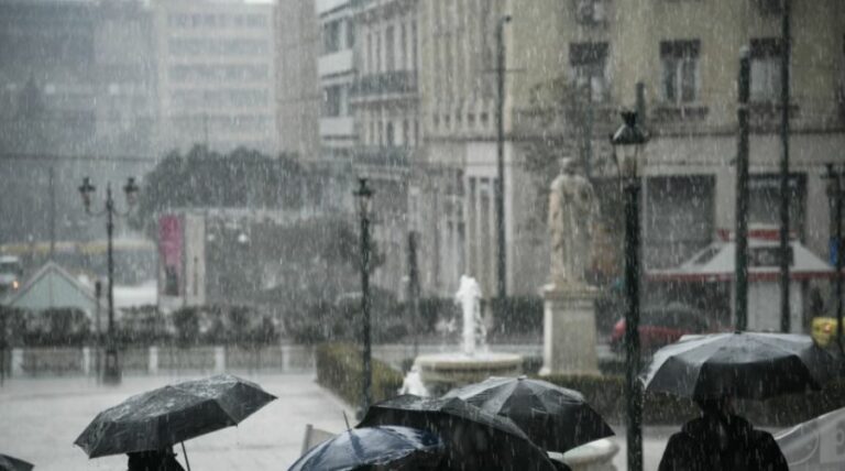
The Hellenic National Meteorological Service (HNMS) issued an extreme weather warning forecasting a sudden turn of the weather for the worse. The phenomena will starts on Monday and will last until Friday, affecting the whole country.
According to HNMS, locally strong storms are forecast this afternoon in Attica with the phenomenon expected to weaken in the coming days.
In general, the bad weather will be characterised by heavy rains and thunderstorms, which will be accompanied by a high frequency of lightning, local hail, and temporary strong winds.
In more detail:
The weather will deteriorate with heavy rains and thunderstorms, from today Monday until next Friday, mainly in mainland Greece. The strong phenomena will manifest mainly in the noon and afternoon hours.
Today Monday (06-06-2022) heavy rains and thunderstorms are forecast in central and eastern Macedonia and Thrace from noon until evening. Similar phenomena will occur in regions in Thessaly, the central and eastern Sterea, and the central and eastern Peloponnese from noon until the afternoon.
Tomorrow Tuesday (07-06-2022) the extreme phenomena will be less intense and have a shorter duration. Thunderstorms will occur before noon in Macedonia and from noon in Thessaly, the western and central Sterea, and the western and central Peloponnese. In the evening, the effects are expected to wane.
On Wednesday (08-06-2022) heavy rains and thunderstorms are forecast from noon until night in Macedonia, Thessaly,
Epirus and the Mainland.
The extreme weather with heavy rains and thunderstorms will continue on Thursday (09-06-2022) mainly in Macedonia and Thrace. On Friday (10-06-2022) heavy rains and thunderstorms are forecast in the mainland, the Sporades, the northeastern Aegean, and possibly northern Evia. The intense phenomena will cease at the weekend.
Especially for Attica, locally strong storms are forecast this afternoon (Monday 06-06-2022), while for Tuesday and
Wednesday the phenomena are expected to decrease.
Ask me anything
Explore related questions




