Turkey has strongly reacted to the publication by the European Commission of a map depicting Greece’s Maritime Spatial Planning (MSP). This planning is a legal obligation for Greece as an EU member state, and the deadlines for its submission had already expired in 2021.
Maritime Spatial Planning involves mapping the uses of marine areas within EU member states and defining the permissible or prohibited activities in these zones as part of the EU’s broader maritime strategy for European seas.

Greece has significantly delayed submitting its MSP, partly due to Turkey’s objections, as the Greek plan must naturally include all maritime zones of the country.
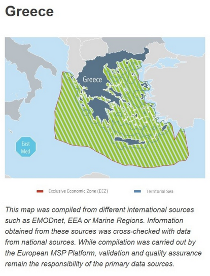
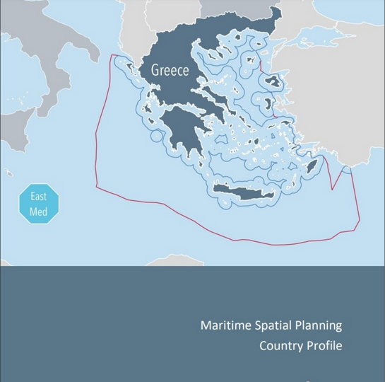
A few days ago, the European Commission, on its Maritime Spatial Planning (MSP) Platform under Greece’s profile, highlighted that Greece had not yet submitted its MSP. It also published a map based on data sourced from various organizations and national sources. The map reflects the realities of the Aegean and Eastern Mediterranean and indicates Greece’s potential maritime zones.

The publication of this map on a Turkish nationalist website—frequently featuring retired Admiral Cihat Yaycı, the “father” of the Turkey-Libya Memorandum—sparked a series of reports in Turkish nationalist media. Subsequently, Turkey’s Foreign Ministry issued a harsh statement warning that it would not allow violations of Turkey’s rights in the Aegean and Eastern Mediterranean. The statement accused the EU of interfering in maritime zone issues of other countries and warned in a threatening tone that such unilateral actions do not contribute to resolving the “interconnected issues of the Aegean.”
Ask me anything
Explore related questions


