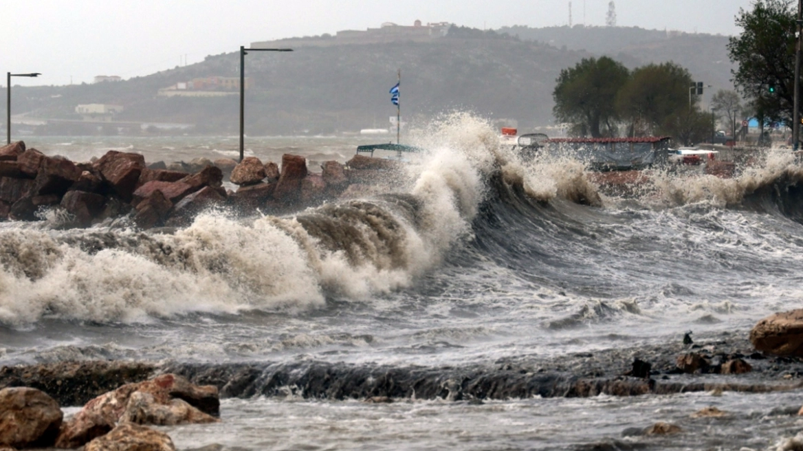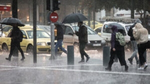
A gradual rise in temperatures, southerly winds and rain will be the main feature of weather this week for Greece.
According to EMY director, Thodoros Kolydas, the cold weather has started to subside, with lots of rain expected from tomorrow through Friday.
The minimum temperature in Thrace yesterday morning
The minimum temperature was recorded in Thrace on Sunday morning 23/02. According to the network of automatic weather stations of meteo.gr/National Observatory of Athens, the minimum was recorded in Vyrsini Rodopi (-9.9 °C), followed by Orestiada (-9.6 °C) and Didymoteicho (-9.0 °C).
The relevant table shows the 8 stations of the network that recorded the lowest temperatures on the morning of Sunday 23/02.
Today’s weather
Snowfall is expected in places in the northern mainland and in mountainous areas of the rest of the mainland. Rain is expected in low-altitude areas of the central and southern mainland, the Ionian Sea and Crete. Precipitation or sleet is also expected in low-altitude areas of Central Macedonia, while from midday snowfall in the semi-mountainous areas of Central and Western Macedonia will give way to rain or sleet.
The temperature in Western and Central Macedonia will range from -2 to 8 degrees Celsius, in Eastern Macedonia from -4 to 5, in Thrace from -6 to 6, in Thessaly from 1 to 10, in Epirus from 1 to 13, in Western Sterea from 4 to 13, in the rest of Sterea from 0 to 10, in the Western Peloponnese from 6 to 12, in the rest of the Peloponnese from 2 to 7, in the Ionian Islands from 7 to 14, in the North and East Aegean Islands from -2 to 6, in the Cyclades from 3 to 10, in the Dodecanese from 2 to 10 and in Crete from 2 to 13 degrees Celsius.
The winds in the North Aegean will initially blow from the east from 2 to 4 Beaufort but from noon in the western parts of the Aegean Sea will become southerly up to 3 Beaufort. In the Central and South Aegean Sea the winds will initially blow from the north at 3 to 5 Beaufort with weakening from midday. Particularly in Myrtoo, from the afternoon they will shift to southeastern 2 to 4 Beaufort. In the Ionian Sea the winds will initially blow from southerly directions 3 to 5 Beaufort but from noon they will become variable 2 to 4 Beaufort.
In Attica clouds are expected. Possibility of temporary, light rainfall and snowfall in the mountains from noon. The winds will blow from the north up to 3 Beaufort but from noon they will shift to south winds of the same intensity. The temperature in the center of Athens will range from 5 to 9 degrees Celsius.
In the prefecture of Thessaloniki clouds are expected. There is a possibility of sleet or snowfall and in the mountains and semi-mountains snowfall until the morning. Then there is a possibility of light snowfall only in the mountains, while for the rest of the regions there is a possibility of light rain or sleet. Winds will blow from variable directions up to 3 Beaufort. The temperature in the center of Thessaloniki will range from 3 to 8 degrees Celsius.
The weather on Tuesday 25-02-2025
Clouds, partly cloudy with local rain initially in the Ionian Sea, the mainland and Crete and gradually in the rest of the regions. Sporadic thunderstorms will occur in the morning hours in the Ionian Sea and western Crete, gradually in the Cyclades, the islands of the northern and eastern Aegean and from the afternoon in the Dodecanese. The phenomena will stop in the afternoon hours in the north and at night in the eastern islands. Light snowfall will occur in the continental mountains.
Winds will blow in the west west west northwest 3 to 4 Beaufort and in the east south southeast up to 5 Beaufort.
The temperature will rise across the country. It will reach 13 to 15 degrees Celsius in the west and the southern Aegean, in the north 09 to 11 degrees Celsius and in the rest of the regions 12 to 14 degrees Celsius. Frost will occur in places on the northern continents.
The weather on Wednesday 26-02-2025
A few clouds, partly cloudy with light local rain mainly in the west, the central and southern mainland, Euboea, the Cyclades and Crete. Visibility in the morning and evening hours on the mainland will be locally limited.
Winds will blow from southern directions 3 to 4 Beaufort and from the evening in the Ionian Sea 4 to 5 Beaufort.
The temperature will rise slightly further and will be at normal seasonal levels.
The weather on Thursday 27-02-2025
Across the country, clouds are forecasted with local rain initially in the west, the eastern and southern islands and gradually in the rest of the country. Sporadic thunderstorms will occur initially in the western seaside coastal areas, from the afternoon hours in the Cyclades and gradually in the eastern Aegean. The phenomena in the west are likely to be strong in places.
Winds will blow south-southwest 3 to 4 and in the sea locally 5 Beaufort.
The temperature will not change significantly.
The weather on Friday 28-02-2025
Cloudy weather with local showers and in the seaside coastal areas sporadic thunderstorms are forecast throughout the country. The phenomena, which may be strong in the morning hours in the west and south and until noon in the eastern Aegean, will gradually weaken and the weather will improve.
Winds will initially blow from southerly directions 3 to 5 Beaufort, but will quickly blow in the west and north and gradually in the rest of the regions will turn to northerly directions with the same intensity.
The temperature will not change significantly.
Ask me anything
Explore related questions