The weather will deteriorate rapidly from Sunday with temperature taking a “dive” from 4 to 7 degrees Celsius due to the cold Balkan front that will affect Greece for four days.
After the strong instability that causes rainfall and will prevail tomorrow Saturday, a cold Balkan front will arrive from Sunday noon and will cause up to snowfall, according to Thodoris Kolydas.
In particular, from midday on Sunday, showers and thunderstorms will increase and there will be a gradual drop in temperature until Thursday, April 10. According to Kolydas, forecast models indicate that lowest temperatures will prevail on Tuesday, April 8.
Warm invasion
Thodoros Kolydas predicted that from Friday 11 April the weather will change face due to a warm invasion from North Africa and from Saturday Lazarus the mercury will return to normal for the season temperatures.
Lagadas had the highest rainfall
The weather on Friday was rainy in most parts of the country. Two tourists were trapped in Probona stream in Patisia and required the intervention of the fire brigade. A video has been recorded frame by frame the rescue of the two tourists by the EMAK:
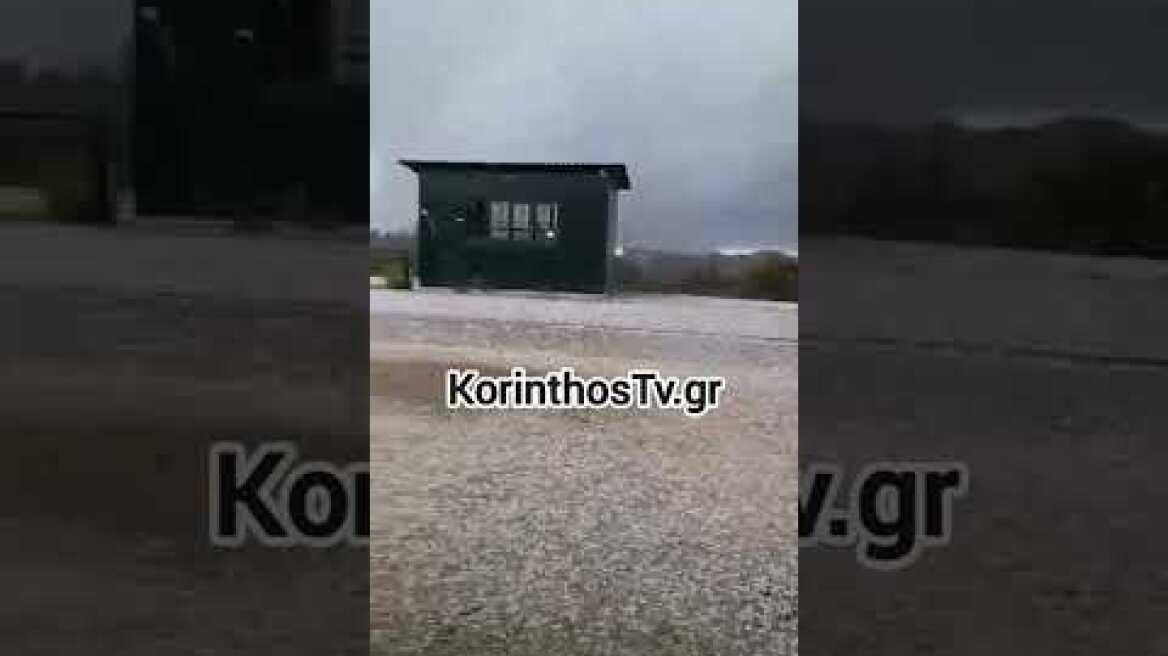
Also in Athikia in Corinth, Kryoneri in the municipality of Sikyonia and in Ancient Nemea thick hail.
According to data from the National Observatory of Athens, the most significant rainfall during Friday was recorded in the eastern mainland. The highest daily rainfall up to 17:40 was recorded in Lagada, Thessaloniki and amounted to 36.8 mm.
The EMY forecast for Saturday
In the Sporades, Evia, Thessaly, eastern Sterea, the Cyclades and gradually the islands of the eastern Aegean and the Dodecanese, cloudy with local showers and isolated thunderstorms. The phenomena in most areas will stop in the afternoon. In the rest of the country, a few clouds in places with localized rain mainly in the midday and afternoon hours, when in the mainland there will be isolated thunderstorms.
A little snow will fall in the central continental highlands. Winds will blow from westerly directions 3 to 4 and in the south locally 5 Beaufort. The temperature will not change significantly and in most areas will reach 16 to 18 and locally 19 degrees Celsius.
Sunday, April 6:
A few clouds, increasing in places in the west, south and eastern islands, with a few localized showers. From the midday hours in the north, clouds will increase and there will be sporadic thunderstorms, mainly in eastern Macedonia and Thrace and from the evening onwards on the northeastern Aegean islands.
Snowfall will occur in the north, from the afternoon in the mountains and during the night towards Monday in semi-mountainous areas.
Winds will blow west 3 to 5 Beaufort in the west and south 4 to 6 Beaufort in the east. In the evening in the north the winds will shift to northerly and will increase locally up to 7 Beaufort.
The temperature will reach 17 to 19 degrees in most areas, but from the afternoon in Macedonia and Thrace it will drop significantly.
Monday 7 April:
In the northern and central mainland, the Sporades, the East Aegean islands and gradually in the eastern Peloponnese, increasing cloudiness with local rain and occasional thunderstorms. Snowfall will occur in the central and northern mountains and semi-mountains. In the rest of the country, partly cloudy with local showers. The phenomena will gradually stop in the afternoon in most areas of the western and northern part of the country.
Winds will blow from the north at 4 to 6 Beaufort and in the sea locally 7 Beaufort and only in the southeast until noon will prevail west southwest winds of 3 to 5 Beaufort. The temperature will drop in the central and northern regions. Indicatively in Macedonia, Thrace and Thessaly it will not exceed 09 to 11 degrees Celsius. Frost will occur in the evening hours in the northern mainland.
Tuesday, April 8:
In the eastern part of the country increasing cloudiness with local rain and in the south isolated thunderstorms. In the rest of the regions a few clouds in places. Diffuse snowfall will occur in the mountains of the mainland.
Winds will blow north northeast 4 to 6 and locally in the central and southern Aegean Sea 7 Beaufort. The temperature will also drop in southern Greece and across the country will be low for the season. Frost will occur in the morning and evening hours in the central and northern mainland.
Wednesday 9 April:
In the west and south, increasing clouds with local rain and, mainly in the Peloponnese, isolated thunderstorms. In the rest of the country a few clouds, partly cloudy in the midday and afternoon hours on the mainland. Little snow will fall in the mountains.
Winds will blow north northwest at 4 to 6 Beaufort, locally 7 Beaufort in the sea. The temperature will not change significantly and will remain at unseasonably low levels. Frost will occur in the morning and evening hours on the mainland.
Ask me anything
Explore related questions
