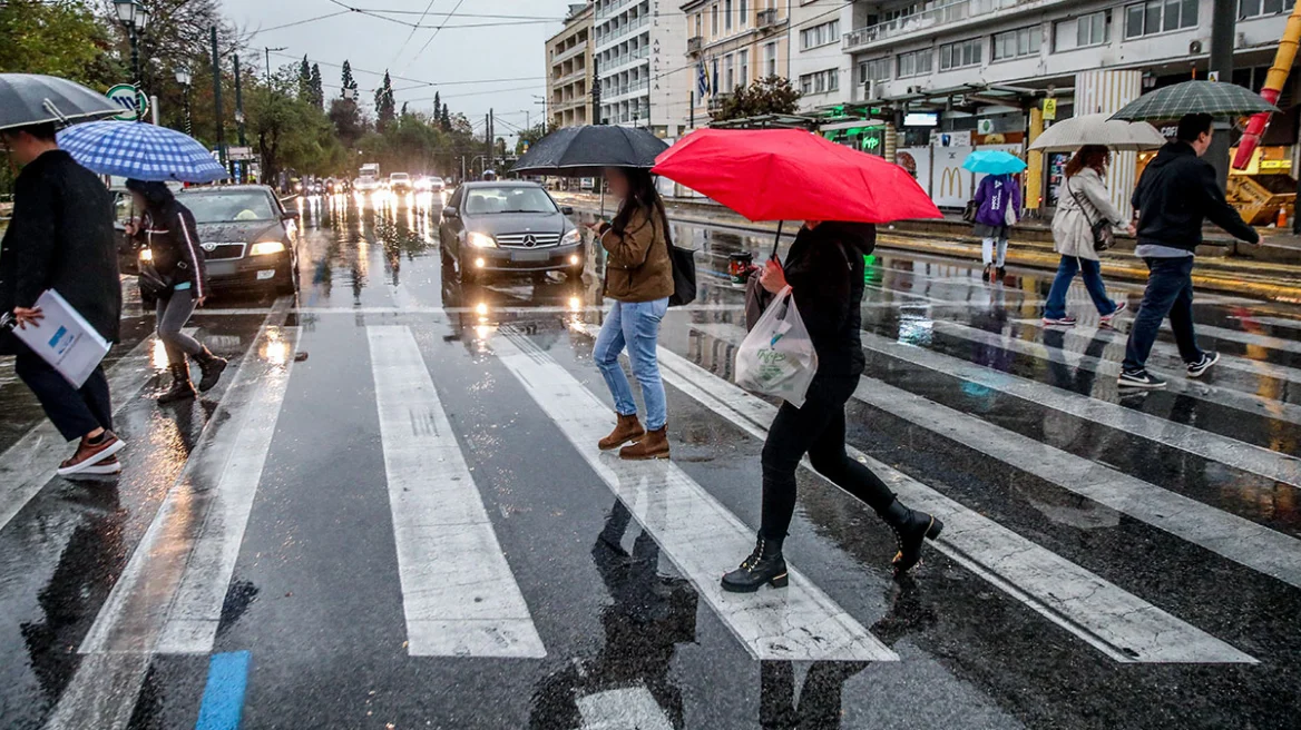
Today’s severe weather shows that even quantities on the order of 35–40 mm can create significant problems.
The rain in Attica didn’t just fall — it fell quickly, forcefully, and over a city with limited absorption and drainage capacity. The streets instantly turned into water channels, while the city’s lower-lying areas received a surge of runoff that the drainage network could not remove.
As meteorologist Thodoris Kolydas explains, the problem is not only the amount of water but the rate at which it reaches the ground, especially in an urbanized environment that acts as a “hard surface.” A large volume of water in a short period means immediate surface accumulation rather than gradual absorption. The water doesn’t find soil to infiltrate — it finds only asphalt and concrete.
At the same time, today’s episode reminded us how crucial it is to make use of every available warning tool. “In a country where radar infrastructure has coverage gaps and storms now occur with greater frequency and intensity, operational reaction time becomes vital. With better use of satellite data and numerical forecasting models, issuing a warning 1–2 hours earlier is not only feasible — it is necessary.”
Ask me anything
Explore related questions