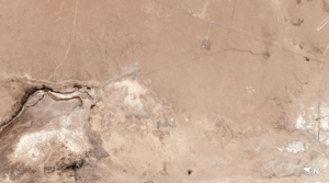
One of last week’s powerful Southern California earthquakes created a crack in the planet’s crust that’s visible from space.
Photos snapped on Saturday (July 6) by tiny Earth-observing Dove satellites, which are built and operated by San Francisco-based company Planet, show a new surface rupture near the desert town of Ridgecrest, about 125 miles (200 kilometers) northeast of Los Angeles.
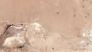
A day earlier, the Ridgecrest region had been rocked by a 7.1-magnitude temblor — the most powerful quake to hit Southern California in two decades. And Friday’s quake was far from alone; it followed on the heels of a 6.4-magnitude tremor that hit the area Thursday (July 4) and spawned a swarm of less powerful aftershocks.
Read more HERE
Ask me anything
Explore related questions
