





A welcome cool spell will arrive in the country from today, according to the protothema.gr meteorologist, with temperatures dropping sharply and very limited instability in eastern and southern Greece.
Specifically, the maximum temperature is expected to reach, late in the afternoon, 33 to 34 degrees Celsius in mainland areas and the Dodecanese, 35 degrees in Crete, and 30 to 31 degrees in the Cyclades and the Ionian Islands.
At the same time, winds will blow from northern and northwestern directions, reaching 6 Beaufort in the Ionian Sea and 7 Beaufort in the Aegean Sea.
In Attica, a few local showers are forecast after midday. Northern winds will reach 6 Beaufort, while temperatures will range between 24 and 33 degrees Celsius.
In Thessaloniki, clear weather is expected. Winds in the Thermaic Gulf will blow from the northwest at up to 5 Beaufort, while temperatures will reach 31 degrees Celsius.
On Friday, weather conditions are expected to worsen, with rain and thunderstorms across much of the country, a further drop in temperatures, and a temporary strengthening of the northerly winds to 7–8 Beaufort.
The phenomena may be accompanied by intense lightning activity, strong wind gusts, and local hailstorms.
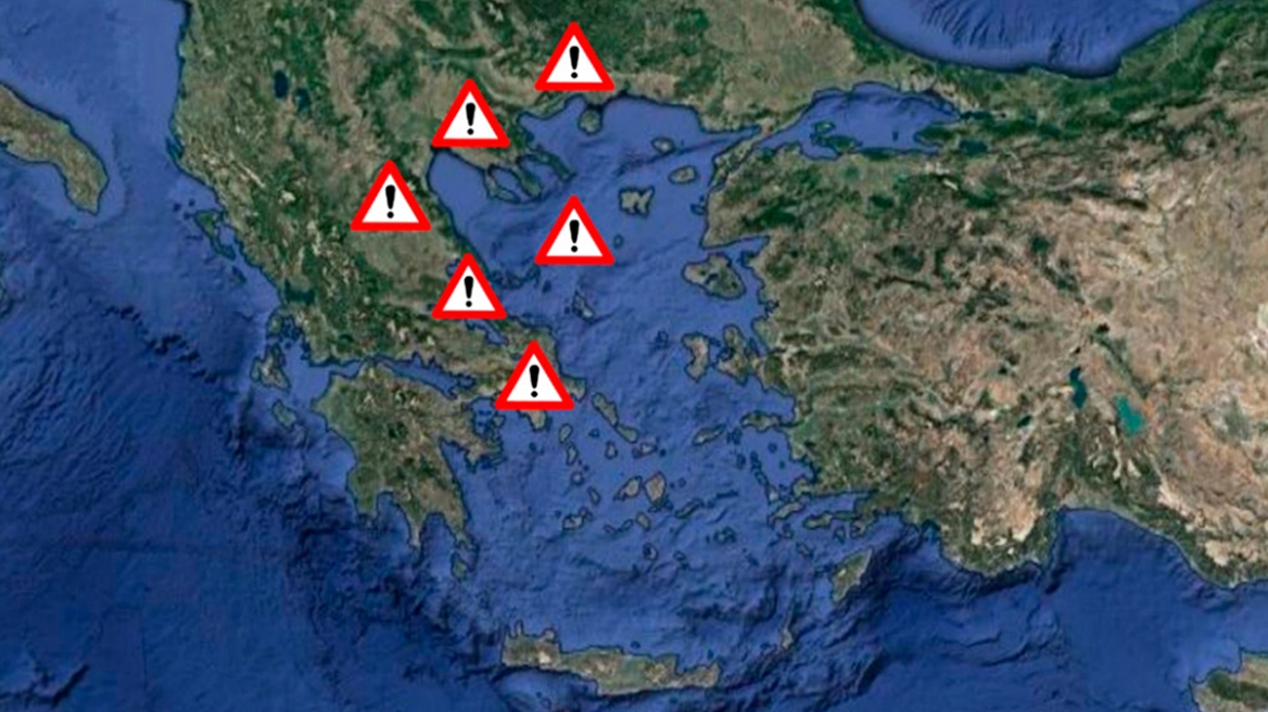
At the highest level of risk for severe weather events are Halkidiki, Evia, the Sporades, Thessaly, and Phthiotis.
At the second level of risk are Boeotia, Attica, the eastern Peloponnese, and the western Cyclades.
On Saturday, and especially on Sunday, the weather will improve, while temperatures will rise slightly.
Ask me anything
Explore related questions




