





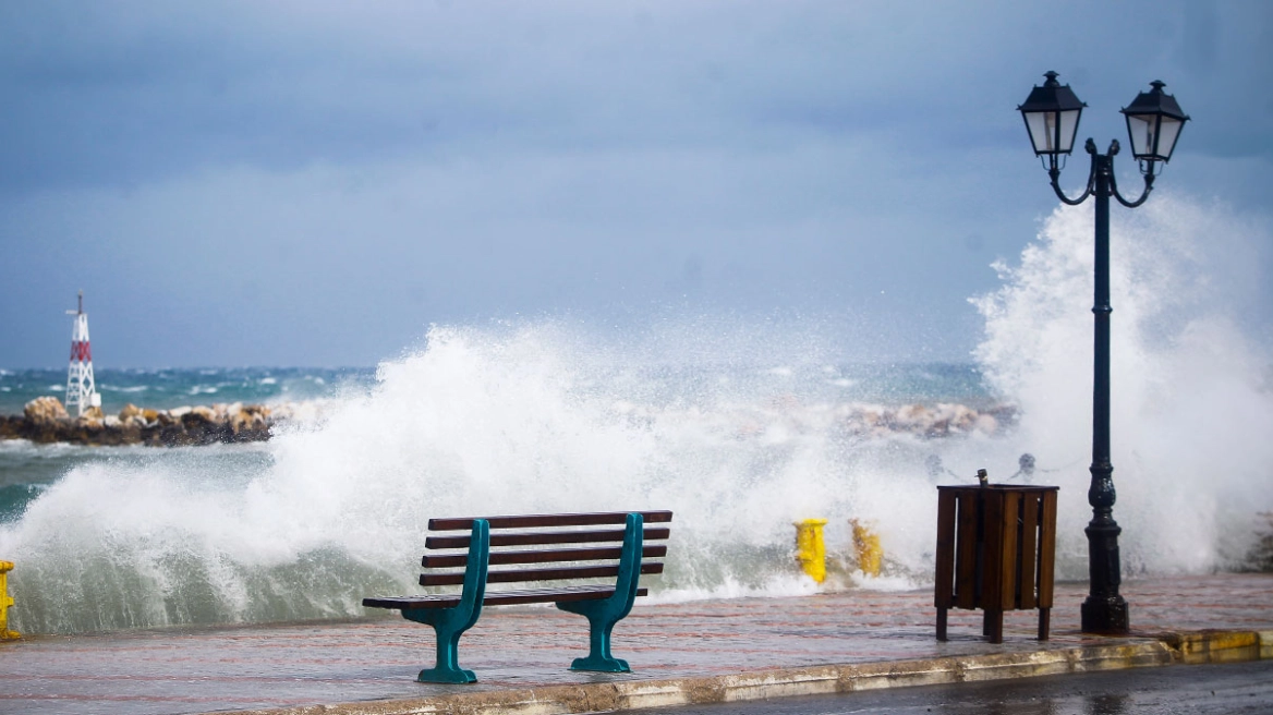
For the next 48 hours, gale-force meltemi winds will be the dominant weather feature, with gusts locally exceeding 100 km/h.
As a result, on Friday morning a general sailing ban was imposed on ships scheduled to depart from the ports of Rafina and Lavrio, with the exception of routes to Marmari.
As for Piraeus, the Blue Star Paros service to Syros, Tinos, and Mykonos did not operate, while the remaining vessels are departing under a “voyage plan,” meaning they may adjust the order of their scheduled destinations or even omit some port calls, depending on the weather conditions they encounter.
In addition, the “Super Speed 4” service to Paros, Naxos, and Koufonisia, as well as the Champions Jet service to Kythnos, Sifnos, Serifos, Kimolos, and Milos, were canceled.
By contrast, ferries to the Saronic Gulf are departing normally from the port of Piraeus.
The situation is expected to be reassessed after 11:00 a.m., when updated information is expected regarding the evolution of the weather conditions and the feasibility of operating ferry services.
The major holiday travel exodus had already begun yesterday, Thursday, August 13, with increased traffic at all three major ports of Attica. From Piraeus, 24 ferry departures took place, with 23,665 passengers leaving for the Aegean islands, while 55 services to the Saronic Gulf carried a total of 8,589 passengers. From the port of Rafina, 15 sailings departed with 7,267 passengers, while 8 ships left Lavrio carrying 2,754 passengers.
Tsatrafyllias’ weather forecast
According to protothema.gr meteorologist Giorgos Tsatrafyllias, the strong winds will disrupt sea transport in the Aegean, lower temperatures by 6 to 7 degrees Celsius, mainly in eastern areas, and at the same time create particularly adverse fire-weather conditions, significantly increasing the risk of the rapid spread of wildfires.
In the regions of Attica, Boeotia, Evia, much of the Peloponnese, the Sporades, the North Aegean, Chalkidiki, Eastern Macedonia and Thrace, the Cyclades, and Crete, the already dangerous fire-weather conditions are expected to deteriorate further over the next two days.
From Sunday onward, the winds will gradually begin to weaken, and the new week will bring mild weather conditions both on land and at sea, without any episodes of extreme heat.
Ask me anything
Explore related questions




