
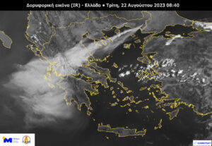
In an image of the European satellite METEOSAT-11 processed by the METEO unit of the National Observatory of Athens, the severity and the extent of the forest fires that are active in our country until shortly before 10 am on Tuesday.
In the image, the dense smoke that has covered the sky of several areas of our country is visible.
More specifically, the smoke is seen over the North and Central Aegean Sea from the forest fires in Evros and Rodopi, as well as from the fire over Boeotia. Smoke from the fire in the Evros region reached about 950 km southwest, covering an area equal to about 110,000 square kilometres.
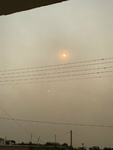
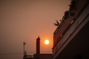
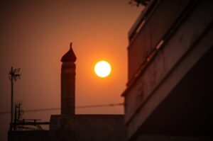
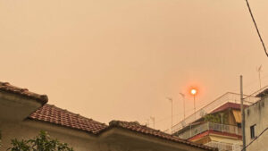
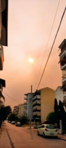
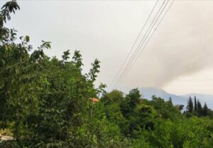
The smoke has covered almost half of Greece
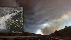
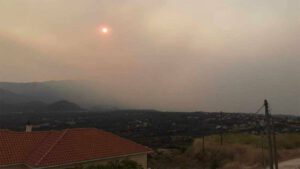
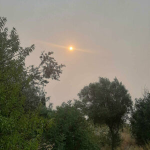
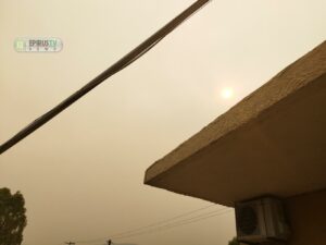
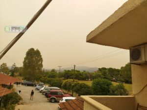
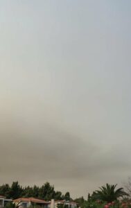
Smoke from the large fires that have affected Alexandroupolis, Boeotia, and Evia in recent days has reached many parts of the country. The images circulating on the internet are typical.
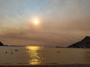
Smoke has reached the Ionian Islands. See images from Ithaca, Kefalonia, and Lefkada.
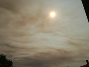
The sky in Samothrace
#Αλεξανδρουπολη #φωτιά Μαύρισε ο ουρανός και στη Σαμοθράκη pic.twitter.com/mWF8PANKu1
— Elena Mosxou (@ElenaMosxou) August 21, 2023
In Kalamata
The sky in Preveza
The sky in Kavala
The smoke reached Agrinio
The sky in Halkidiki
The sky in Lemnos
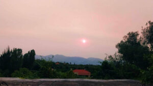
The sky in Amphilochia
The smoke in Larissa
The sky in Tzoumerka
Ask me anything
Explore related questions


