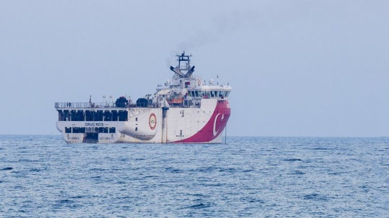
The Turkish research vessel Oruc Reis is sailing close to a 12-nautical-mile radius from the Greek island of Kastellorizo, along with the two other vessels Ataman and Cengiz Han and a number of Turkish warships escorting it.
The Oruc Reis is following an east-northeast course, so it is considered very likely to approach the archipelago of Megisti closer than the 12 nautical miles which is the potential zone of the Greek coastal zone.
According to the Turkish Navtex on October 11, the Oruc Reis will conduct seismic surveys until October 22 in a zone up to 6.5 nautical miles from Kastellorizo. The question now is what the crew of Oruc Reis and the accompanying Turkish warships will do today, which are already moving on the edge of the of 12 nautical-mile radius from Kastellorizo.
The Turkish fleet is constantly being monitored by Greek navy ships sailing near the area.
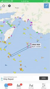
The map below shows the exact location of the Turkish vessel.
also read
TUI to extend program to Greece until November
Greece to call for suspension of EU-Turkish Customs Union
Ask me anything
Explore related questions


