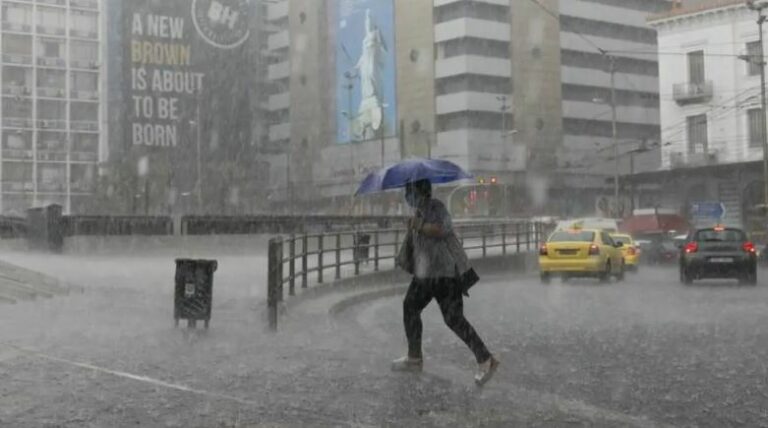
The Hellenic National Meteorological Service (HNMS) issued a new severe weather warning today, Tuesday.
The report warns of rains and thunderstorms in many areas of the eastern country, which will be temporarily strong but gradually be limited to Thrace, the islands of the eastern Aegean and the Dodecanese, and from the evening will weaken.
A new weather system called BALLOS will cause new severe weather phenomena in the country from Thursday (14-10-2021) and from the west – southwest, with main characteristics being:
1. HEAVY RAINS AND THUNDERSTORMS, which will be accompanied in regions by hail and temporarily strong gusts of wind. The intense phenomena will initially affect the Ionian, the western continents, and Macedonia and from noon on Thursday gradually the rest of the country.
On Friday (15-10-2021) bad weather is initially forecast throughout the country, but the intense phenomena from the afternoon hours in the northwest will weaken.
On Saturday (16-10-2021) heavy rains and thunderstorms will affect the eastern country, but gradually the effects will wane.
2. STORMY SOUTH WINDS intensity 7 to 8 Beaufort. In northern Greece from Thursday night (14-10-2021), north winds will prevail with the same intensity, while on Friday (15-10-2021) the south winds in the Aegean will probably reach 9 Beaufort locally.
3. A SIGNIFICANT DROP OF TEMPERATURE in northern Greece by 6 to 7 degrees Celsius.
also read
6.3R Earthquake in Crete: Small tsunami is expected on the south coast
Ask me anything
Explore related questions


