The National Meteorological Service issued an emergency weather report on Thursday afternoon for the new “wave” of bad weather “Elpis”.
Successive weather systems are forecast to cause bad weather under the name “Elpis” in our country in the coming days.
The first weather system will affect us from Saturday (22/1/2022) and the second, which will be more powerful, from Monday (24/1/2022).
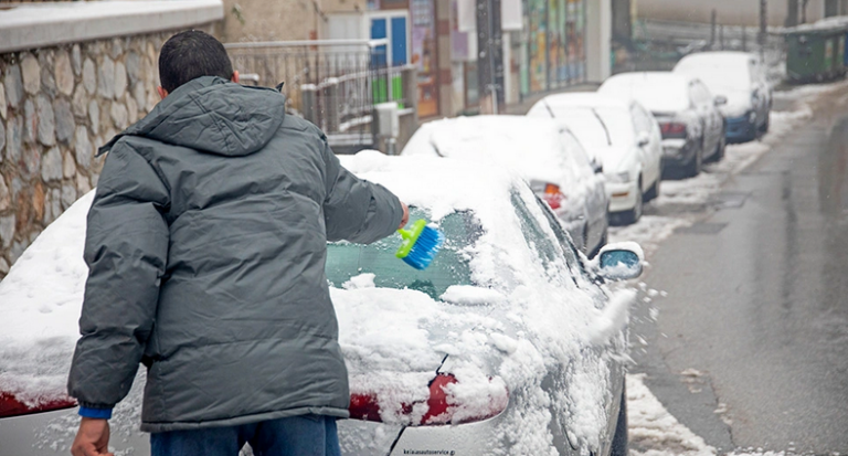
The main features will be the very low temperatures, the heavy snowfall even in the plains of the north and of eastern Greece as well as in the Aegean islands and the north winds of 8 to 9 Beaufort in the east.
Kremlin on Biden statements: Danger of further destabilization in Ukraine
We will see snow from late Friday night in these areas and in big cities of western Macedonia (in central Macedonia there does not seem to be particularly intense phenomena other than some snowfall in the center of Halkidiki), while the latest forecasts do not predict snowfall in Thessaloniki.
Snow will fall in the lowland areas of eastern Macedonia and Thrace, as of course in parts of Thessaly, late Friday night at low altitudes. At dawn on Saturday in these areas of northern Greece the weather conditions will gradually improve and it will stop snowing, with the bad weather shifting from about the height of Thessaly and further south to the mainland, i.e. Thessaly, the central Sterea, Evia and areas of the eastern Peloponnese and the Sporades, in the mountainous and semi-mountainous areas initially and later in the afternoon and in lowland areas in the aforementioned areas.
Ask me anything
Explore related questions


