Related Stories

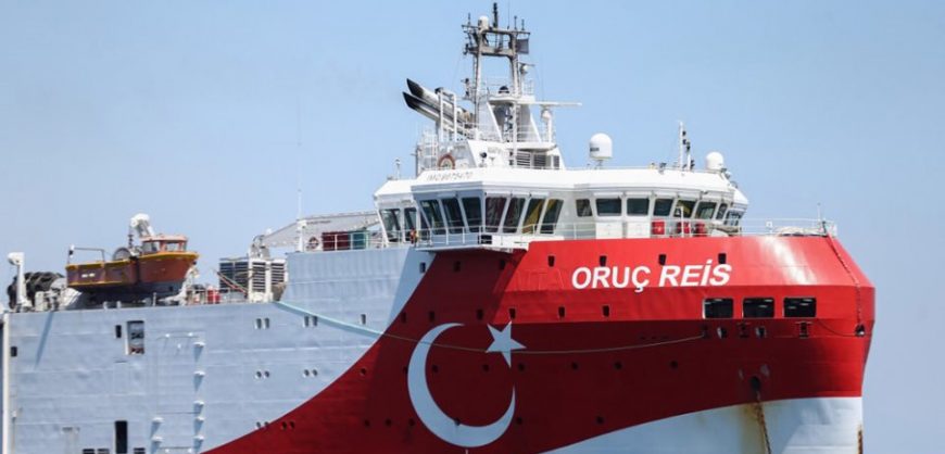
Turkey issued an extension of the Navtex for a seismic survey of the Oruc Reis in an area within the Greek continental shelf south of Kastellorizo late Wednesday night. According to the latest illegal Navtex, the Oruc Reis, accompanied by auxiliary ships Ataman and Cengiz Han, and by five Turkish warships, its research activities will continue until midnight on Tuesday 27 October.
On that day, 15 days after its uninterrupted sailing between Rhodes and Kastelorizo, the Oruc Reis’s research survey will be completed, and the vessel will lay down its underwater cables of about 5 km, according to an announcement.
A key question being posed is how the Turkish research vessel will move on October 28th and 29th, when Greece and Turkey will be celebrating their national holidays, respectively.
also read
Google’s Search Dominance (infographic)
Pope Francis endorses same-sex civil unions
What is Tayyip Erdogan planning for the two days of October 28 and 29? Will the Oruc Reis be at sea near the island of Megisti and conduct research? Will it move to the port of Antalya after 15 days of surveying in October and a total of 50 working days from August 10? According to Turkish Energy Minister Fatih Donmez, the next course of actio0n could be a Turkish drilling rig likely to be activated by Ankara in an area that is identified by the Oruc Reis which raised expectations for the existence of hydrocarbon deposits.
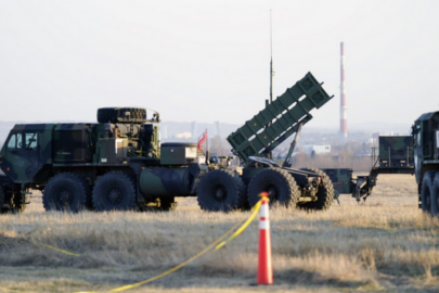
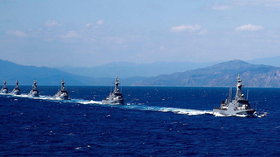
The Greek Armed Forces are on high alert, especially in the area of Kastellorizo where the Navy is closely monitoring the movements of the Oruc Reis having instructions not to allow any movement of the Turkish fleet within the zone of 6 nautical miles from the shores of Megisti.
Greece responds with anti-Navtex
Greece issued a counter-Navtex by the naval hydrographic service station of Heraklion, in response to the new illegal Navtex issued by the Antalya station for investigations of Oruc Reis in an area within the Greek continental shelf, between Rhodes and Kastellorizo.
The Greek Navtex emphasises that the Turkish Navtex concerns “unauthorised activity” and is “illegal” because the area “overlaps the Greek continental shelf”.