
A summer-like weather pattern is expected starting Friday, as temperatures will exceed 34 degrees Celsius; however, this warm spell will be followed by a cold air mass on Sunday, bringing a drop in temperatures.
In a post today on X, meteorologist Thodoris Kolyda noted:
?ΗΠΙΟΣ ΚΑΙ ΖΕΣΤΟΣ ΚΑΙΡΟΣ- ΜΕΤΑΒΟΛΗ ΚΥΡΙΑΚΗ ΠΡΟΣ ΔΕΥΤΕΡΑ
— Theodoros Kolydas (@KolydasT) September 24, 2024
✅Η άνοδος της θερμοκρασίας τις επόμενες ημέρες το κύριο χαρακτηριστικό του καιρού και την Παρασκευή και το Σάββατο θα ξεπεράσουμε τους 30°C σε πολλές περιοχές .
✅Παρακολουθήστε το ψυχρό μέτωπο που περνά την Κυριακή από… pic.twitter.com/TOXKDa25cE
“The rise in temperature over the next few days will be the main characteristic of the weather, and on Friday and Saturday, we will exceed 30°C in many areas. However, the temperature on Monday will drop by about 5 degrees, returning to normal autumn levels (see maps).”
Read his post
Development of Weather Phenomena from Today
With intermittent clouds but also plenty of sunshine, low wind intensity, and some rain mainly in the northwestern parts of the country, the days will unfold until Thursday, according to ERT meteorologist Anastasia Tyraske.
The temperature will reach around 30 degrees. On Friday and Saturday, the weather will be summery, with abundant sunshine across the country and temperatures locally reaching around 32-33 degrees.
More specifically, today, Tuesday, most parts of the country are expected to have sunshine with periods of clouds. Local rain and isolated thunderstorms will occur in western Greece, mainly in the northwestern regions. Winds in the Ionian will be from the south, and in the Aegean from the north, with intensities reaching up to 5 Beaufort. The temperature will reach 26 to 29 degrees in most areas.
In Attica, sunshine is expected with occasional clouds. Winds will be weak, and temperatures will reach up to 28 degrees.
In Thessaloniki, sunshine is also expected with intermittent clouds. Winds will be weak, and temperatures will reach up to 27 degrees.
Marousakis’ Forecast on Weather Developments
“In the temperature chart, or as I like to call it, the ‘truth chart,’ which includes the multiple solutions of meteorological models showing the prevailing weather trend, we can observe the upward trajectory of the temperature, where by the end of the week in the Attica region, we will see temperatures nearing 34 degrees Celsius as a maximum.
It is also worth noting that observing the same chart towards the end, we see temperature curves sharply declining, indicating a sudden weather change accompanied by a steep drop in temperature, which is expected early next week. We will address this when our predictive elements can lead to more stable conclusions.
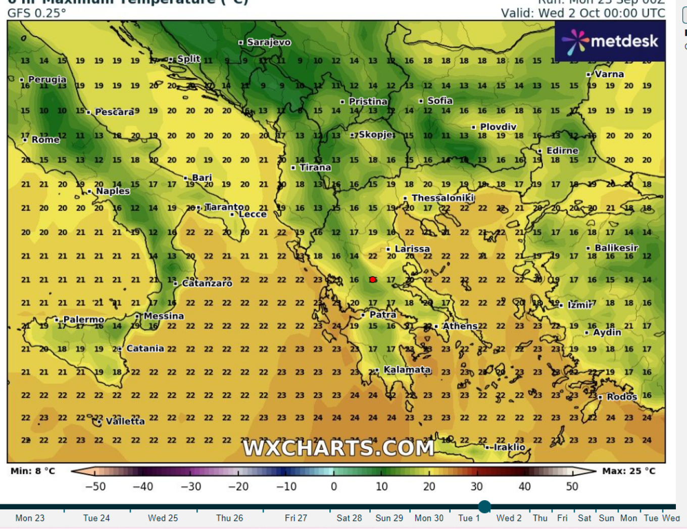
Temperatures in the country in the first days of October
Until then, we enjoy the summer weather with caution, especially in the west until Wednesday, where instability seems to dominate.”
A Strong Blocking Anticyclone Expected in Early October – What Problems It May Cause to the Weather
A strong blocking anticyclone is expected to develop in the coming period, resulting in a lack of rainfall, according to Thodoris Kolyda in a new post.
The blocking anticyclone will prevent weather systems from central Europe from moving toward our area.
Kolyda’s Detailed Post
THE WEATHER OUTLOOK UNTIL THE FIRST WEEK OF OCTOBER
✅ The rise in temperature starting early next week will be the main feature of the weather. From the beginning of October, we return to normal temperature levels.
✅ Regarding rainfall, nothing encouraging is observed, with the only exception being some phenomena at the end of the month. A strong blocking anticyclone will develop from early October. This strong anticyclone will block and prevent systems from central Europe from moving into our area, resulting in a lack of rainfall.
? Η ΠΡΟΟΠΤΙΚΗ ΤΟΥ ΚΑΙΡΟΥ ΕΩΣ ΚΑΙ ΤΗΝ ΠΡΩΤΗ ΕΒΔΟΜΑΔΑ ΤΟΥ ΟΚΤΩΒΡΙΟΥ
— Theodoros Kolydas (@KolydasT) September 21, 2024
✅Η άνοδος της θερμοκρασίας από τις αρχές της ερχόμενης εβδομάδος θα είναι το κυριο χαρακτηριστικό του καιρού. Από τις αρχές Οκτωβρίου ξαναγυρίζουμε σε κανονικά επίπεδα θερμοκρασιών.
✅Από πλευράς βροχοπτώσεων… pic.twitter.com/LAndFdVnn9
Today’s Weather
A few local clouds are expected at times, while sporadic rain will occur in the afternoon and early evening in the Ionian Sea and in mountainous areas of Western Macedonia, Epirus, Western Thessaly, Central and Western Sterea, and the Peloponnese.
The temperature in Western Macedonia will range from 12 to 25 degrees Celsius, in the rest of Macedonia and Thrace from 13 to 29, in Thessaly from 16 to 29, in Epirus and Western Sterea from 14 to 28, in the rest of Sterea from 14 to 29, in the Peloponnese from 12 to 29, in the Ionian Islands from 17 to 26, in the Northern and Eastern Aegean Islands from 14 to 29, in the Cyclades and Dodecanese from 16 to 28, and in Crete from 13 to 29 degrees Celsius.
Winds in the Aegean will blow from variable directions at 2 to 4 Beaufort. In the Central Aegean, winds will initially come from the north at 2 to 4 Beaufort, but by the afternoon they will shift to the west and northwest at the same intensity. In the Southwestern Aegean, winds will blow from variable directions at 2 to 4 Beaufort. In the Southeastern Aegean, winds will blow from the northwest at 2 to 4 Beaufort, locally reaching up to 5 Beaufort. In the Ionian Sea, winds will initially come from the south at 2 to 4 Beaufort, but from midday they will gradually shift to the south-west and west at the same intensity.
Forecast for Wednesday, September 25, 2024
In the Ionian Sea and Epirus, there will be increased clouds at times with local rain and possibly isolated thunderstorms. In the rest of the country, there will be a few clouds, which will increase in the afternoon over the mainland, with local rain or showers expected in the western and northern regions. Visibility will be locally limited during the morning and evening hours. Winds will be southerly at 3 to 4 Beaufort, and only in the southeastern Aegean will they be northwesterly at 4 to 5 Beaufort. The temperature will rise slightly, reaching 26 to 28 degrees Celsius in most areas, and locally in the eastern mainland and the Dodecanese, it may reach 29 to 30 degrees Celsius.
Forecast for Thursday, September 26, 2024
In the Ionian Sea and Epirus, there will be a few clouds temporarily increasing in the morning, when local rain is expected. In the rest of the country, initially, there will be generally clear weather, but during the midday to afternoon hours, clouds will develop over the mainland and Crete, with local showers in mountainous areas. Visibility will be locally limited during the morning and evening hours. Winds will be variable at 3 to 4 Beaufort, and in the southern regions, northwesterly at 4 to 6 Beaufort. The temperature will not change significantly.
Forecast for Friday, September 27, 2024
There will be mostly clear weather across the country. Visibility will be locally limited during the morning hours, mainly in the west. Winds will be variable at 3 to 4 Beaufort, while in the southern regions, they will blow northwesterly at 4 to 5 Beaufort, and locally in the southeastern regions at 6 Beaufort. The temperature will rise slightly.
Forecast for Saturday, September 28, 2024
Clear weather is expected across the country. Visibility will be locally limited during the morning hours, mainly in the west. Winds will be variable at 3 to 4 Beaufort, while in the eastern and southern Aegean, they will blow northwesterly at 3 to 5 Beaufort. The temperature will reach levels 2 to 4 degrees Celsius above normal for the season in most areas.
Ask me anything
Explore related questions


