Strong northerly winds are expected to continue today, reaching 5–7 Beaufort in the Aegean Sea. From Thursday, winds will gradually weaken to 4–6 Beaufort, with a further decrease on Friday, especially in the eastern parts of the country. Temperatures will remain high, reaching up to 39°C in western Greece.
Today’s fire danger map is nearly identical to yesterday’s, showing a very high fire risk (Category 4) in several regions affected by strong northeasterly winds. These include the northeastern Aegean, Thrace, Eastern Macedonia, Chalkidiki, and much of the central and southern mainland up to the southern Ionian.
Regions with Very High Fire Risk Today
According to the General Secretariat for Civil Protection, the following areas are under Category 4 fire risk:
- Attica (including Kythera)
- Peloponnese
- Western Greece
- Epirus (Preveza, Arta)
- Thessaly (Sporades)
- Central Greece (Fthiotida, Boeotia, Fokida, Evia including Skyros)
- Ionian Islands (Lefkada, Kefalonia, Ithaca, Zakynthos)
- Eastern Macedonia and Thrace (parts of Kavala, Thassos, Xanthi, Rodopi, Evros including Samothraki)
- Central Macedonia (Halkidiki, including Mount Athos)
- North Aegean (Lesvos, Lemnos)
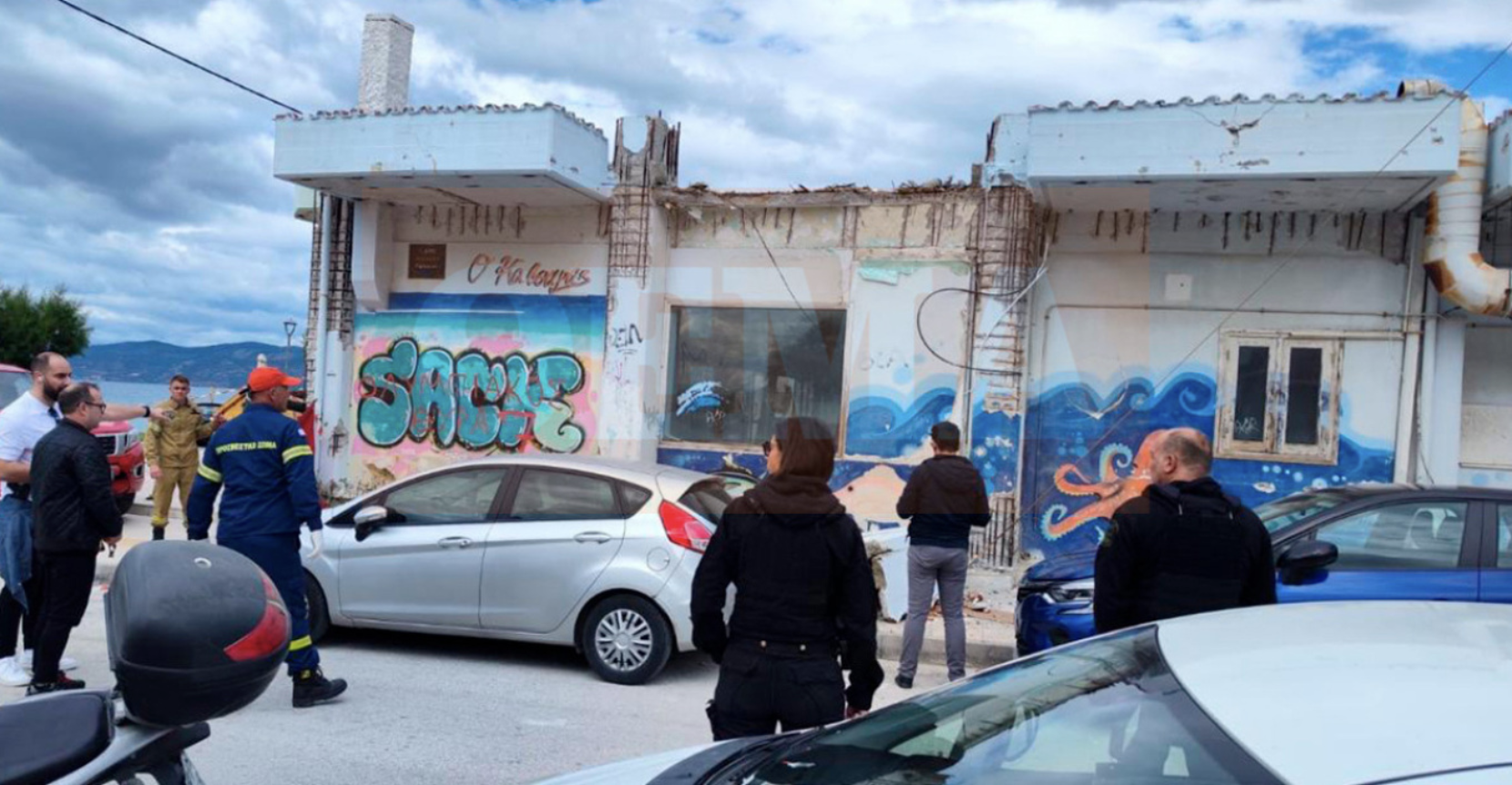
The Fire Department remains on high alert and has activated the Civil Protection action plan. This includes the preventive prohibition of vehicle traffic and visitor access to national parks, forests, and other vulnerable areas.
Authorities urge citizens to avoid any outdoor activity that could start a fire—such as burning grass or branches, using machinery that produces sparks (circular saws, welding equipment), operating outdoor barbecues, smoking beehives, or discarding lit cigarettes. During the fire season, burning fields is strictly prohibited.
In the event of a fire, call the Fire Service immediately at 199. More safety information is available at civilprotection.gov.gr.
Yesterday’s Temperatures
On Tuesday, August 12, the highest temperatures were recorded in the Peloponnese, Western Central Greece, and Epirus, according to the National Observatory of Athens / meteo.gr.
- Oleni, Ilia recorded the maximum at 42.8°C.
- Temperatures above 35°C were recorded at 169 of the 545 active weather stations (~31%), above 37°C at 75 stations (~14%), and above 40°C at 15 stations.
- Eastern Sterea, the Cyclades, and Crete remained cooler due to northerly winds.
Today’s Forecast
- Western Macedonia: 18–32°C
- Rest of Macedonia & Thrace: 19–35°C
- Thessaly: 21–35°C
- Epirus: 23–39°C
- Western Sterea & Peloponnese: 25–38°C
- Rest of Sterea & Peloponnese: 22–34°C
- Ionian Islands: 23–36°C
- North & East Aegean Islands: 19–36°C
- Cyclades & Dodecanese: 19–34°C
- Crete: 21–33°C
Winds:
- Aegean: NW to N 4–6 Beaufort, easing in the afternoon in the Central and Southern Aegean.
- Dodecanese: variable 2–4 Beaufort.
- Ionian: Easterly up to 3 Beaufort, shifting to northerly 3–4 Beaufort in the afternoon (south of Zakynthos: variable 3–4 Beaufort).
Attica: Sunny with occasional clouds. N winds 3–5 Beaufort, weakening later. Athens: 24–32°C.
Thessaloniki: Sunny. Variable winds up to 3 Beaufort. 28–32°C.
Outlook
Thursday, Aug. 14 – Mostly clear, some clouds in Epirus, Macedonia, and mountain areas. Winds: variable in the west (3–4 Beaufort), N in the east (4–6 Beaufort, locally 7). Slight temperature drop, max 33–35°C inland, 36–37°C west, 30–32°C islands.
Friday, Aug. 15 – Clear with some clouds in the north and east. Winds N 3–5 Beaufort west, 4–6 east, up to 7–8 Beaufort northeast in the afternoon. Temperatures steady.
Saturday, Aug. 16 – Mostly clear with possible local rain in NW mountains. Winds N 3–5 Beaufort west, 5–7 east, up to 8 in central/northern Aegean, Evia, eastern Attica.
Sunday, Aug. 17 – Mostly clear, with possible local showers in the NW. Winds N 3–5 Beaufort west, 5–7 east. Temperatures steady.
Ask me anything
Explore related questions