A wave of warm spell that will see the thermometer reach just over 40 degrees is just around the corner and looks set to be the last of August, as temperatures begin to recede and return to near average climatic values from Saturday.
Temperatures will start to rise from today with the mercury reaching up to 37°C. In fact, according to meteorologist Christina Rigou, there will be a peak in the heat with the mercury reaching 40°C – 41°C in areas of Fthiotida, Argolida, Attica, Boeotia, Arcadia and Laconia.
According to meteorologist Nikos Kanteres, “the beautiful Greek summer, which is sought by tourists, will continue in September with sunshine and good weather conditions”.
The weather today
Sunshine is forecast in the country with local clouds in the Ionian Sea and the northern mainland. Visibility will be locally limited in the west and north in the evening and morning hours.
The temperature in Western Macedonia will range from 13 to 33 degrees Celsius, in the rest of Macedonia and Thrace from 19 to 35, in Thessaly from 20 to 38, in Epirus from 17 to 33, in Sterea from 20 to 36, in the Peloponnese from 21 to 37, in the Ionian Islands from 19 to 32, in the North and East Aegean Islands from 17 to 35, in the Cyclades and the Dodecanese from 20 to 33 and in Crete from 18 to 34 degrees Celsius.
The winds will blow from the west south-western directions in the west 3 to 4 Beaufort, in the east from the north-western directions 3 to 5 and in the south-east locally 6 Beaufort.
In Attica sunshine is forecasted. The winds will be variable and light. The temperature will range from 19 to 34 degrees.
In Thessaloniki clear weather. Winds variable 2 to 4 Beaufort. The temperature will range from 20 to 33 degrees.
The weather on Friday, August 22
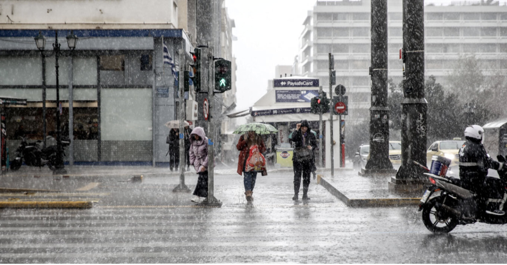
In the west and the north a few clouds, partly cloudy, with sporadic showers or thunderstorms from the morning in the northern Ionian Sea (Corfu – Diapontian Islands – Paxos area) and Epirus and local rain in the midday – afternoon hours on the mainland. The phenomena will stop from noon in the northern Ionian Sea and from late afternoon in the rest of the regions. In the rest of the country, generally clear weather. In the evening hours in the west there will be some fog in places.
In the late afternoons and late afternoons in the west, some clouds may occur.
Winds will blow in the Ionian Sea, the northern mainland and the northern Aegean Sea south-southwestern 3 to 4 Beaufort and in the remaining areas westerly 4 to 6 Beaufort.
The temperature will rise in the east and south and will reach in Thessaly, eastern Sterea and eastern Peloponnese 36 to 38 and in some places 39 and possibly 40 degrees Celsius. In the west and north it will reach 32 to 34 degrees Celsius, but in the northwest it will not exceed 28 to 30 degrees Celsius. Also, in the eastern Aegean islands and Crete it will reach 33 to 35 degrees Celsius and in the rest of the island country 29 to 31 degrees Celsius.
The weather on Saturday 23 August
Generally clear weather, with passing clouds and occasional local rain in the central and northern mainland mainly in the midday – afternoon hours, when there is a possibility of isolated thunderstorms in the northern mountains. In the morning hours in the west the visibility will be limited and there will be occasional fog.
Winds will blow northwest at 3 to 5 Beaufort and in the central and southern parts locally 6 Beaufort.
The temperature will drop slightly.
The weather on Sunday, August 24
In the north a few clouds, partly cloudy, with local rain or rain mainly in the midday – afternoon hours. In the rest of the country, generally clear weather, with occasional clouds and local rain in the midday – afternoon hours on the mainland, mainly in the mountains.
The winds will blow north-northwest 3 to 5 and in the sea locally 6 Beaufort.
The temperature will drop further.
Estimate for September by Kanteres
“Thermal instability did not exist today Wednesday(19/8),while on Tuesday,as forecasted it caused local rain and a few thunderstorms in mainland Greece. In Attica it rained basically in the main fabric of the capital, due to the increased number of condensation nuclei,while in the wider region of the prefecture it hardly rained at all. 23 years ago, it was August 18, 2002, Sunday day, strong storms caused flooding in Athens, Piraeus, Moschato, Goudi, Rentis, Liosia and elsewhere and large rainfall heights were recorded such as in the National Swimming Pool 56 mm Goudi 53 mm, National Observatory 52 mm, and Liosia 40 mm.
In terms of development until the end of August, no significant rainfall is predicted at least. For heatwave this week should not even be mentioned. Just tomorrow Thursday and especially Friday the mercury will reach 37 and 38 degrees to retreat on Saturday and especially Sunday. In the last week of August, from Monday to Thursday, the temperature will be at normal levels, while the last days of the month will see another warm invasion that has nothing to do with the heatwave of the Iberian Peninsula.
In Greece there may be few meteorologists – forecasters left, but we are able to inform the Greek public correctly and without exaggeration.
The beautiful Greek summer that tourists seek will continue in September with the sunny days, the well-traveled seas, the Greek hospitality and our Greek history.
P.S. When the first strong change in the weather will be approaching, the information will be updated in time.”
Ask me anything
Explore related questions