





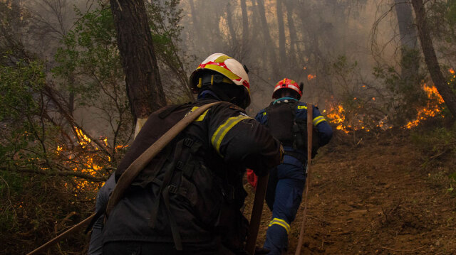
With the wildfire in Western Attica continuing to burn for another day, an updated analysis by the National Observatory of Athens highlights the scale of the destruction caused by major wildfires in the region from 2018 to the present. According to the data, more than 48,000 hectares have been consumed by flames over the past nine years.
The update by the National Observatory of Athens was carried out following the recent forest fire in Porto Germeno on July 31, 2026.
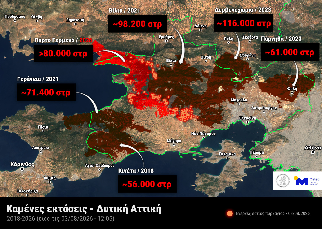
From 2018 through 2026, six major wildfires have burned more than 48,000 hectares, according to reports from the Copernicus Rapid Mapping Service and the European Forest Fire Information System (EFFIS). The perimeter of the burned areas is shown on the accompanying map.
It is noted that the latest wildfire in Porto Germeno is still burning, while the estimated burned area refers to measurements taken up until Sunday afternoon, August 2, 2026. The analysis will be updated once the final extent of the Porto Germeno wildfire has been determined.
The wildfires:
- Kineta, 2018: 5,600 hectares
- Geraneia Mountains, 2021: 7,140 hectares
- Vilia, 2021: 9,820 hectares
- Dervenochoria, 2023: 11,600 hectares
- Parnitha, 2023: 6,100 hectares
- Porto Germeno: More than 8,000 hectares
Ask me anything
Explore related questions




