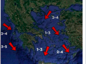





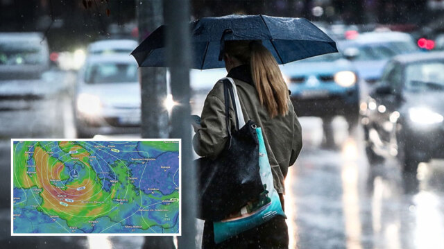
Greece is bracing for 48 hours of heavy rain, thunderstorms, possible hail and significant rainfall accumulations in several areas, as an organised low-pressure system moves in from Italy, according to Proto Thema meteorologist Giorgos Tsatrafyllias.
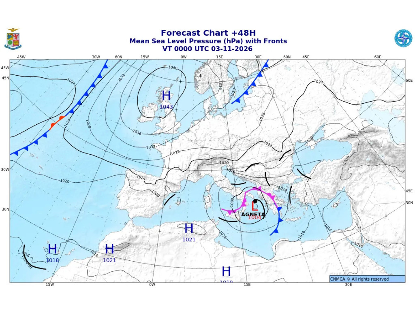
The low-pressure system, named Agneta, is shown on a forecast map issued by the Italian meteorological service. It is expected to affect Greece with successive bands of rain and thunderstorms.
The storm is expected to bring a “Pi-shaped” weather pattern, with the most intense conditions forming a shape resembling the Greek letter pi across the country. Western Greece, the northern mainland and the islands of the eastern Aegean are expected to be affected most severely.
What the two major forecasting models show
The agreement between the European Centre for Medium-Range Weather Forecasts (ECMWF) model and the German ICON model is particularly noteworthy. Both indicate significant cumulative rainfall in several parts of Greece through the early hours of Wednesday, 4 November.
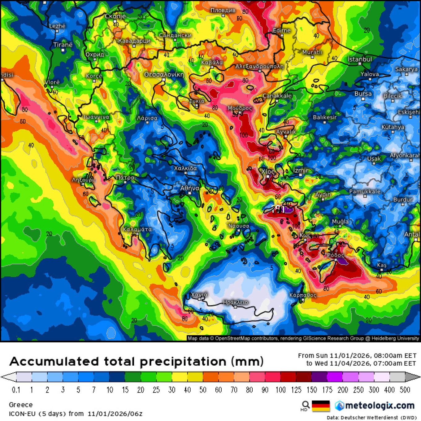
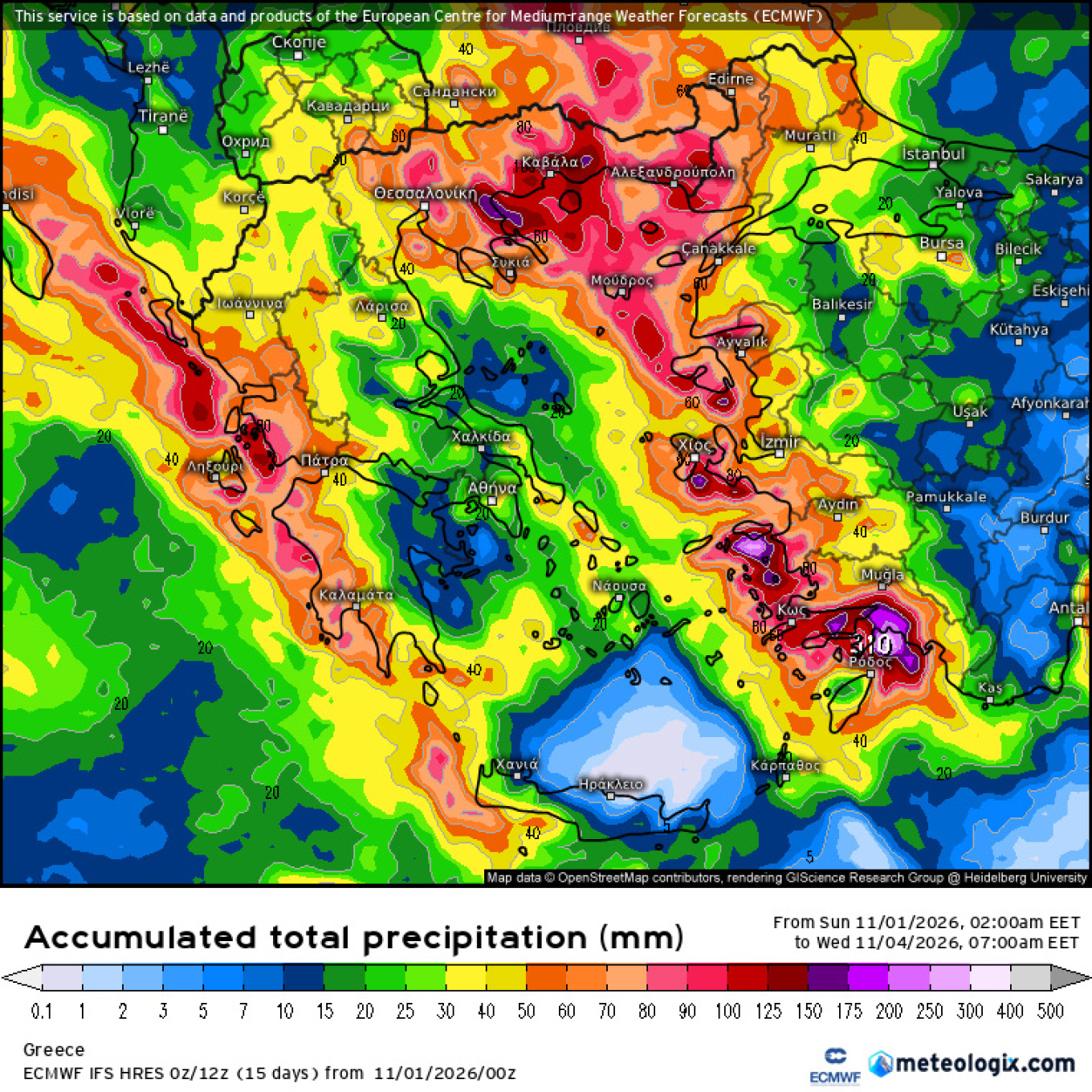
According to the available forecasts, the heaviest rainfall is expected:
- In the Ionian Islands, Epirus, western Central Greece and parts of western and southern Peloponnese.
- In Central and Eastern Macedonia, particularly Halkidiki and the wider Kavala area.
- In Thrace, especially its southern and coastal areas.
- On the northern and eastern Aegean islands, with particular attention warranted on Thasos, Samothrace, Lesvos and Chios.
- In the Dodecanese, where severe thunderstorms are also expected.
In several of these areas, cumulative rainfall could reach 50–100mm. Locally, particularly in the most exposed locations, totals could exceed 100–150mm over the period covered by the forecast maps.
These are indicative model estimates rather than definitive figures, as the precise location and intensity of the thunderstorms could significantly affect the final rainfall totals.
When the most severe weather is expected
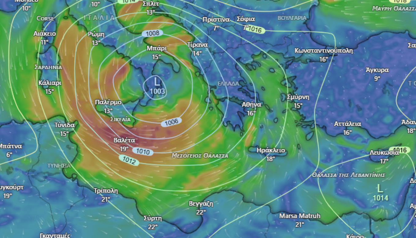
Sunday, 1 November: The most intense conditions will initially focus on western Greece, before moving towards Central and Eastern Macedonia, the northern and eastern Aegean islands and the Dodecanese.
Monday, 2 November: Rainfall is expected to intensify again in the Ionian Islands and, from the afternoon onwards, in Epirus, western Central Greece and western and southern Peloponnese, particularly in marine and coastal areas. Severe thunderstorms will continue intermittently in the Dodecanese.
Tuesday, 3 November: The broader forecast suggests unsettled conditions could persist in parts of western and northern Greece and the eastern Aegean, with the weather gradually becoming less severe. The precise intensity and timing of the conditions will require further assessment as updated forecasts become available.
Ask me anything
Explore related questions