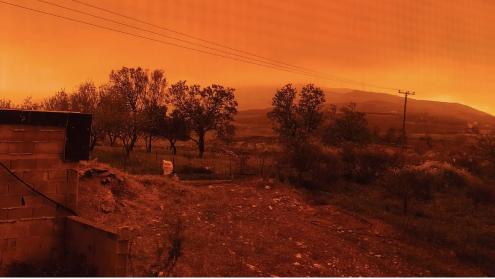
Autumn severe weather is affecting several areas of the country starting today, with rains and storms locally intense, mainly in the southern and eastern mainland regions.
Meteorologists point out that even though the phenomena do not have the character of an organized system, public attention is still necessary, since in some areas large amounts of rain are expected in a short period of time.
According to the latest forecast data, the main volume of rainfall is concentrated in Northern Evia, where the “core” of the bad weather is operating, with quantities reaching 60–80 millimeters. The activity line extends from Thessaly to Attica, following the flow of southern winds.
In Thessaly and the Sporades, rainfall reaches 30–60 millimeters, with locally higher amounts – in Skopelos, for example, more than 60 millimeters of rain have already been recorded.
In Eastern Peloponnese, Attica, Southern Evia and the Western Cyclades, 20–40 millimeters are expected, while in areas such as Eastern Attica, Lavrio and Kea local storms may reach 50 millimeters.
In the Southern Ionian, Western Peloponnese and Northern Crete, the phenomena are more mild, with quantities of 10–30 millimeters, while in Northern Greece, Epirus and Thrace limited rain is expected, up to 15 millimeters on the western coasts.
The bad weather is expected, according to meteorologist Thodoris Kolyda, to gradually weaken from the west, however locally phenomena may be intense, especially in areas with vulnerable ground or already burdened by previous rainfall.
As we head into Friday evening, a new low-pressure system from the Italy region will worsen weather conditions in our country first in the west and through the weekend further east.
According to meteorologists, the new wave of bad weather will bring a large volume of water first to the western parts, and subsequently towards the north / northeast but also the eastern / southeastern Aegean.
Ask me anything
Explore related questions


