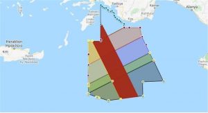
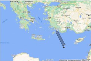
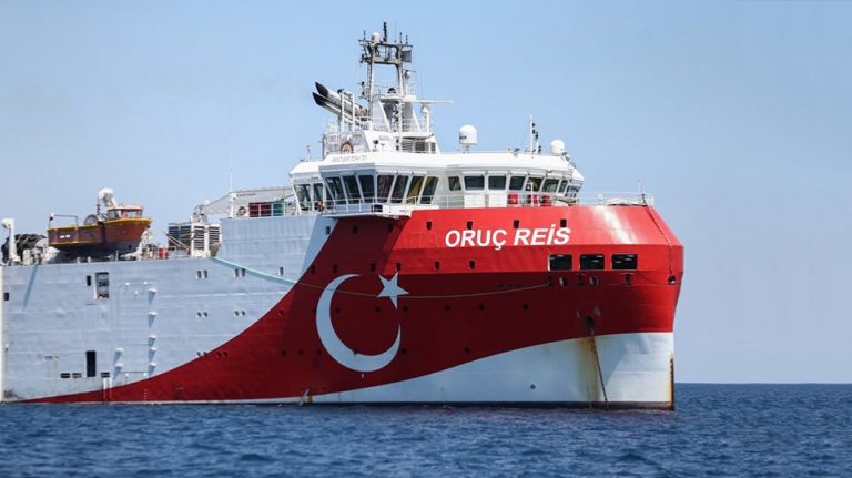
Three days before the previous illegal Turkish NAVTEX about the Oruc Reis south of Kastellorizo expires, the Antalya station in Turkey issued a new NAVTEX announcing that seismic surveys by Oruc Reis and its auxiliary ships Ataman and Cengiz Han will continue until the midnight of November 23rd. The research area is 12 nautical miles from Rhodes!
On the day that Egyptian President Abdel Fattah al-Sisi is in Athens for an official visit, Ankara chooses to “strike” again with this new provocation. The search area formed by the coordinates declared by the Turkish authorities in the illegal NAVTEX number 1404 is adjacent to the area shown in red on the map and extends to the east. The northernmost point of the Turkish NAVTEX is about 18 miles from the island of Ro in the island complex of Kastellorizo.

Greek tanker collided with Turkish fishing boat in Adana (video-photos)
Macron’s war on Islamists comes up against Erdogan’s soft power
Of particular interest is the Turkish warning -as reported by NAVTEX- urging the all ships not to approach the Oruc Reis and its auxiliary ships closer than 6 n.m.
The new Turkish NAVTEX – The illegal survey area is twelve n.m. from Rhodes

Ask me anything
Explore related questions


