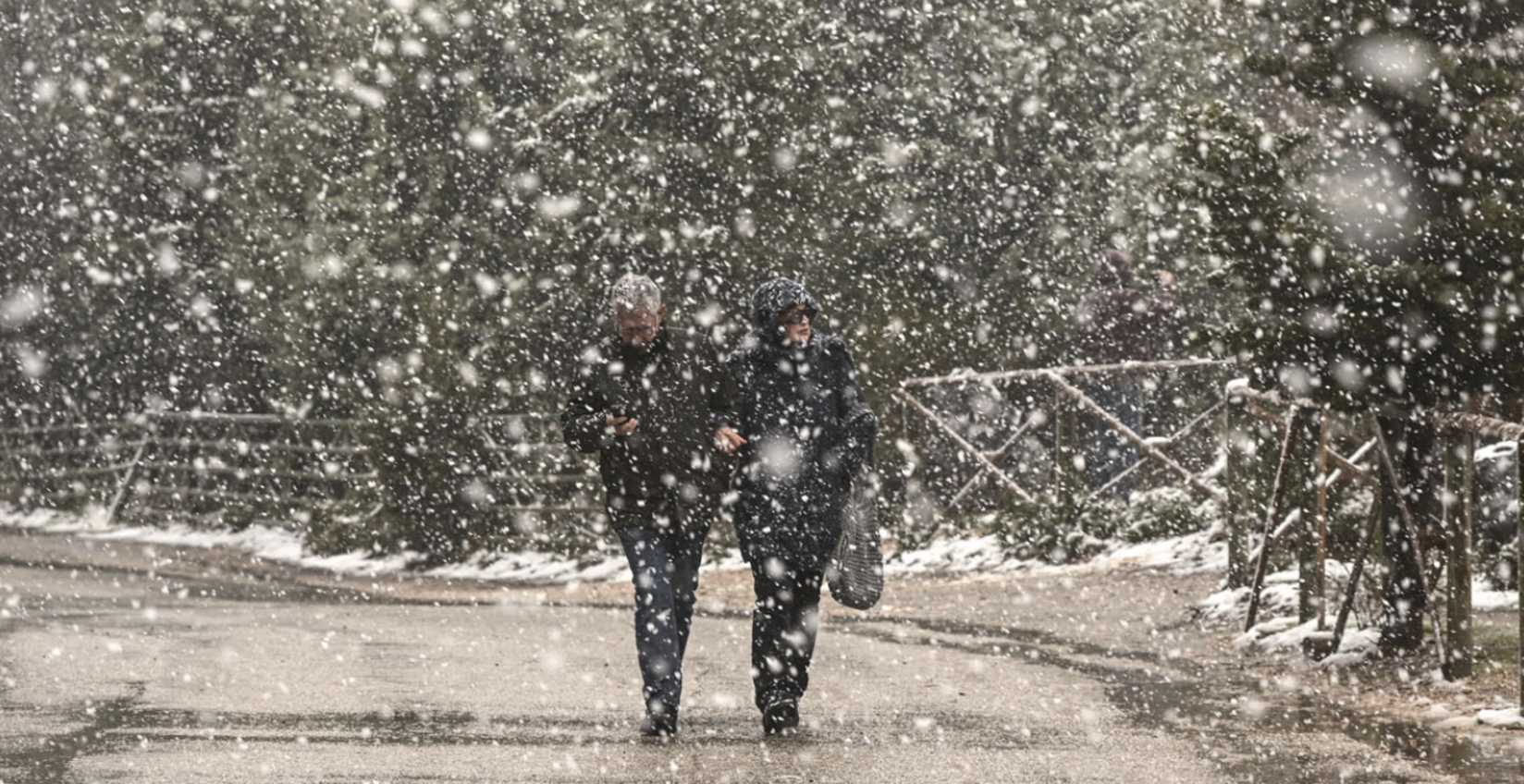
The weather is shifting, and after the recent high temperatures and southern winds, the winds will “turn” into stormy northerlies. The incoming bad weather will bring rain, a temperature drop, and snow, mainly in mountainous areas.
Today’s weather includes localized rain in the west, the north, and the eastern Aegean, along with a temperature drop, setting the stage for the “cold front” arriving on Sunday.
Moreover, according to Giorgos Tsatrafyllias, fog will appear today as it did on Friday, mainly during the morning hours in Attica, the Peloponnese, and western Greece.
From his end, the director of HNMS, Thodoris Kolydas, announced the issuance of an emergency bulletin. Late Friday night, he commented on the upcoming weather changes in a social media post:
“A stationary surface low persists over the central Mediterranean through Tuesday, with the frontal zone gradually shifting southward. Temperatures will drop mainly in central and northern areas, as seen from the structure of isohypses at the 850hPa level. The cold air masses represent a typical winter invasion without extreme temperature anomalies. However, the presence of the low-pressure system in the west will provide significant moisture to the northwest air masses, resulting in heavy snowfall generally in the north and particularly in western Macedonia.”
?TO ΣΧΕΔΟΝ ΣΤΑΣΙΜΟ ΧΑΜΗΛΟ ΚΑΙ Η ΣΤΑΔΙΑΚΗ ΠΤΩΣΗ ΤΗΣ ΘΕΡΜΟΚΡΑΣΙΑΣ
— Theodoros Kolydas (@KolydasT) January 10, 2025
✅Σχεδόν στάσιμο διατηρείται το επιφανειακό χαμηλό στη Κεντρική Μεσόγειο μέχρι και την Τρίτη, η δε μετωπική ζώνη κινείται βαθμιαία νοτιότερα, όπου η θερμοκρασία πέφτει κυρίως στα κεντρικά και Βόρεια και αυτό… pic.twitter.com/9QL1SkiXb0
Earlier, Kolydas, speaking to Star TV, emphasized that rain and snow will occur on Sunday and Monday in the mountainous mainland and semi-mountainous areas of central and northern Greece. In northern Greece, especially from Sunday night into Monday, snow will also fall in lower-altitude regions (exercise great caution in western Macedonia).
Over these two days, temperatures will drop by 8–10°C in central and northern areas, and by 3–5°C elsewhere, returning to seasonally normal levels. Northeasterly winds in the central and northern Aegean will reach 7–8 Beaufort.
Weather Today
Across the country, partly cloudy skies are expected. Brief, localized rain will initially occur in the west, the eastern Aegean islands, the Dodecanese, and possibly in Thrace. By afternoon, weather conditions will progressively worsen, bringing rain to areas of western, central, and especially northern Greece. Light snow will fall in northern mountainous regions. Early in the morning, visibility will be limited in many areas, with fog expected to form.
Temperatures will range as follows:
- Western Macedonia: -1 to 12°C
- Thrace: 3 to 8°C
- Rest of northern Greece: 2 to 14°C
- Thessaly: 3 to 16-18°C
- Epirus: 6 to 17°C
- Other mainland areas: 7 to 16-18°C
- Ionian Islands: 9 to 16°C
- Aegean Islands: 9 to 17-18°C
- Crete: 9 to 20°C
In the central, eastern, and southern Aegean, southwesterly winds will blow at up to 5 Beaufort. In the northern Aegean, northeasterly winds will gradually prevail, reaching 4–5 Beaufort. In the Ionian Sea, northwesterly winds will blow up to 4 Beaufort.
In Attica, partly cloudy skies are expected. Early in the morning, visibility will be limited. Winds will blow from the west at 2–4 Beaufort, with temperatures ranging from 10 to 17°C.
In Thessaloniki, few clouds will gradually increase, bringing rain by evening. Early morning visibility will be limited. Winds will be variable at 2–3 Beaufort, with temperatures ranging from 7 to 14°C.
Weather on Sunday, January 12, 2025
Increased cloud cover with rain across almost the entire country. Sporadic thunderstorms will occur in the west and, from afternoon onwards, over the northern and eastern Aegean islands. Heavy rain will hit northwestern areas (northern Ionian, Epirus) initially and later spread to other Ionian islands, eastern Thessaly, the Sporades, northern Evia, and eastern Aegean islands.
In western Macedonia, particularly heavy snowfall will occur in mountainous and semi-mountainous areas starting in the morning and, by afternoon, even at lower altitudes. Snow will also fall from the morning in the mountainous and semi-mountainous regions of central and eastern Macedonia, Thrace, Epirus, and Thessaly (especially western Thessaly) and, from afternoon, in central mountainous areas.
Winds in the north will blow from the north-northeast at 5–6 Beaufort, strengthening to 7–8 Beaufort in the northern Aegean from midday. Elsewhere, winds will blow from the south at 4–6 Beaufort.
Temperatures will drop by 6–8°C in northern Greece and by 4–6°C in central areas.
- Northern Greece: -4 to 11°C
- Central and southern mainland and northeastern Aegean islands: 6 to 17°C
- Other islands: 11 to 19°C (locally reaching 20°C in southern Dodecanese).
Weather on Monday, January 13, 2025
Increased cloud cover with rain nationwide. Sporadic thunderstorms will occur over the Ionian, central and southern mainland, Sporades, Evia, and temporarily over the northeastern Aegean and Dodecanese islands. Heavy rain will affect the Ionian Islands and western Peloponnese.
In western Macedonia, particularly heavy snowfall will occur in mountainous and semi-mountainous areas and lower altitudes. Dense snowfalls will also occur in mountainous and semi-mountainous regions of central and eastern Macedonia, Thrace, Epirus, Thessaly (especially western Thessaly), and central mountainous areas.
Winds will blow from the southeast in western and southern areas at 5–7 Beaufort, while in the east, winds will blow from the north-northeast at 4–6 Beaufort, strengthening to 7–8 Beaufort in northern areas.
Temperatures will continue to drop further.
Ask me anything
Explore related questions


