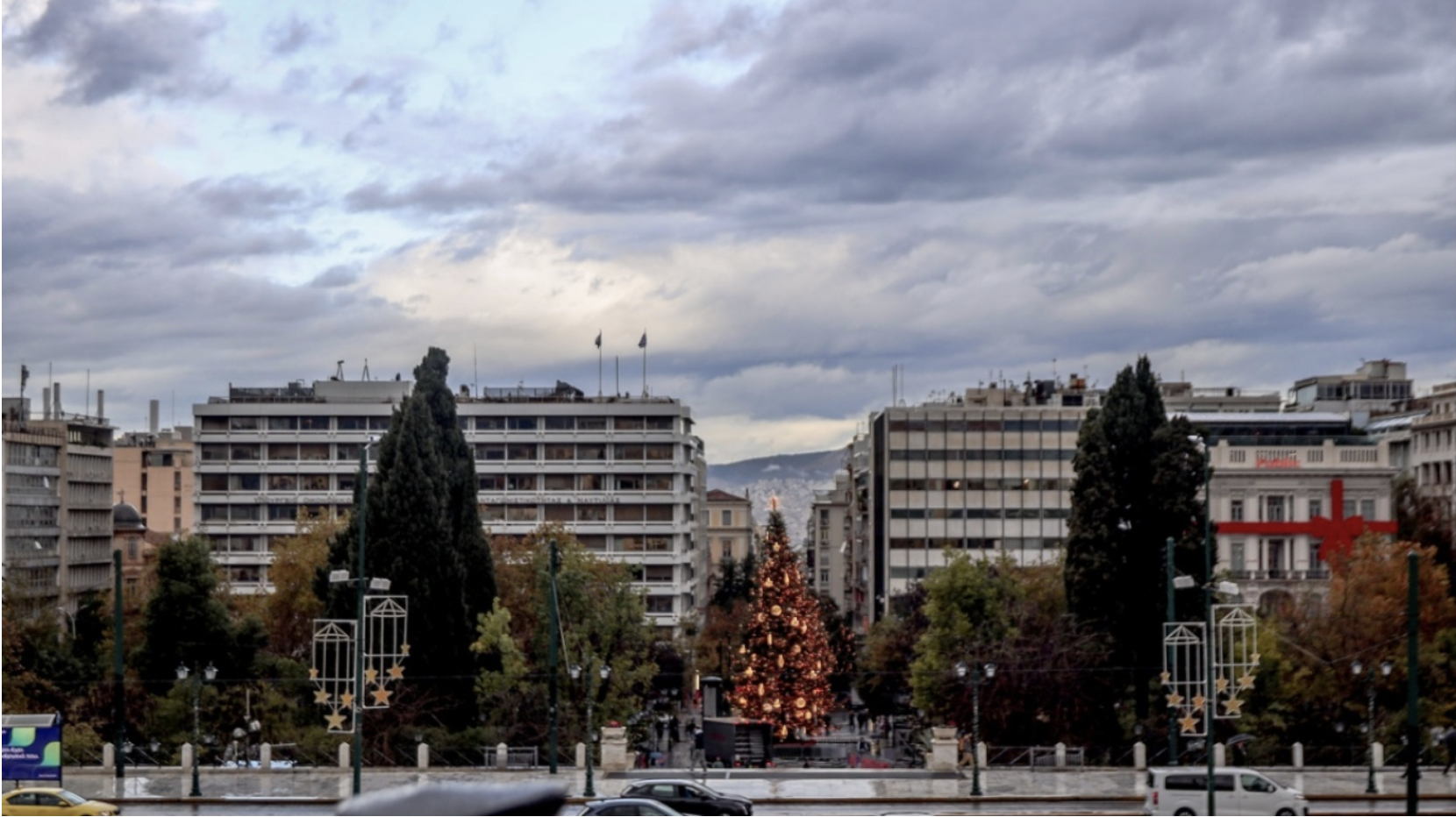
The week begins with pleasant weather, as Monday brings mild conditions and temperatures higher than average for the season. According to meteorologist Giorgos Tsatrafyllias, “December will make its entrance with good weather both on land and at sea,” with light winds and temperatures remaining above normal levels.
These improved conditions will continue into Tuesday, with no significant weather phenomena expected in most regions.
Low-pressure system from the Gulf of Sidra
From Wednesday onward, however, the situation changes. Giorgos Tsatrafyllias notes that a low-pressure system will form in the Gulf of Sidra and move toward Greece, triggering a new spell of severe weather. The system will bring rain, thunderstorms, and gale-force southerly winds, with phenomena first appearing in western regions on Wednesday morning before spreading eastward.
Due to the high temperatures, snowfall will be limited to mountainous areas, while isolated hailstorms cannot be ruled out in parts of western and northern Greece.
Severe weather through Sunday — Areas most affected
The phenomena will intensify and periodically become strong through Sunday. Based on current forecasts, western Greece, the north, and the Aegean appear likely to receive the highest rainfall totals.
Southerly winds will reach gale force, significantly affecting sea travel, while thunderstorms may be intense and long-lasting in some areas.
Kolyidas’ assessment
In a post, meteorologist Thodoris Kolyidas notes that after two days of relative improvement, new data “bring forward the arrival of the system from the west from Tuesday into Wednesday.” He adds that “tomorrow we will have a clearer picture of the weather’s evolution,” emphasizing that widespread rainfall is expected to persist from mid-week onward across most of the country.
The emerging trend indicates the week will end with another round of strong instability, requiring caution in areas prone to flooding.
A video forecast for the next 10 days shows successive waves of bad weather continuing into early next week.
Warmest temperatures on the last day of November recorded in Crete and Rhodes
Crete and the island of Rhodes saw the highest maximum temperatures on Sunday, 30/11, with readings reaching 20–21°C. The table lists the eight highest temperatures recorded across the meteo.gr / National Observatory of Athens network.
Today’s weather
Light, localized showers will occur in the Eastern Aegean islands and the Dodecanese. Elsewhere, very good weather conditions will prevail. Visibility will be locally limited during morning and evening hours, with fog forming in some areas.
Temperatures will range:
• Western Macedonia: -3 to 10°C
• Rest of Macedonia & Thrace: 1 to 12–14°C
• Thessaly: 5 to 16–17°C
• Epirus: 5 to 15°C
• Other mainland regions: 5 to 16–18°C
• Ionian Islands: 7 to 15–16°C
• Aegean & Crete: 7 to 18–20°C
In the Aegean, westerly winds will blow at 3–5 Beaufort. In the Ionian, winds will be light and variable.
Athens (Attica): Sunshine, westerly winds 3–4 Beaufort, temperatures 11 to 17–18°C.
Thessaloniki: Sunshine, northwesterly winds up to 4 Beaufort, limited visibility in the morning and evening, temperatures 6 to 13°C.
Weather for Tuesday, 2 December
Scattered clouds, denser at times, with rain first in the Ionian and gradually in the rest of the west, where isolated thunderstorms may occur. Morning and evening visibility will be locally limited, especially in mainland areas.
Winds will be light and variable; in the Ionian, southeast winds at 4–5 Beaufort.
Temperatures will not change significantly:
• Northern mainland: up to 15–16°C
• Ionian, northern Aegean, and other mainland areas: up to 16–18°C
• Southern mainland: up to 19°C
• Southern island regions: 19–21°C
Weather for Wednesday, 3 December
In Thrace and the eastern island regions, clouds with rain in the Dodecanese by evening. Elsewhere, clouds with rain and thunderstorms initially in the west and gradually in the rest, mainly in southern coastal and marine areas. Phenomena may be strong in the west. Snow will fall in mountain areas of Epirus and Macedonia. From evening onward, conditions favour transport of Sahara dust into southern regions. Morning visibility will be locally limited in mainland areas.
Easterly to southeasterly winds at 3–5 Beaufort; up to 6 Beaufort in the Ionian.
Slight drop in maximum temperatures.
Weather for Thursday, 4 December
Clouds with rain and scattered thunderstorms in coastal and marine areas. Some phenomena may be locally intense. Temporary snowfall in central and northern mountains. Atmospheric conditions will favour the transport of Sahara dust.
Easterly to southeasterly winds at 4–6 Beaufort; in the Aegean, locally up to 7 Beaufort.
No significant temperature change.
Weather for Friday, 5 December
In eastern regions, clouds with rain and thunderstorms—mainly in marine and coastal areas—possibly locally intense. In the west, unsettled weather at times with clouds, local showers, and isolated thunderstorms. Temporary snowfall in central and northern mountains. Brief transport of Sahara dust in eastern regions.
Easterly winds at 4–6 Beaufort and locally 7–8 Beaufort in southeastern Aegean areas. Gradually, winds in the west will turn to west-northwesterly with similar intensity.
No significant temperature change.
Ask me anything
Explore related questions


