





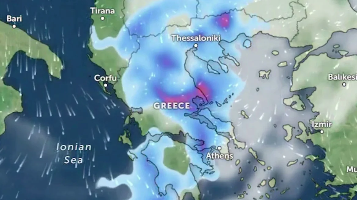
Bad weather is forecast in most parts of the country today (24/7), with the main features being heavy rain and thunderstorms.
In many areas, the phenomena will be accompanied by locally strong winds (squalls), frequent lightning strikes, while there is also a possibility of localized hailstorms.
It is noted that the emergency weather deterioration bulletin issued yesterday by the EMY remains in effect.
More specifically, heavy rain and thunderstorms are forecast:
- In Central Macedonia (the prefectures of Pieria, Imathia, Halkidiki, and Thessaloniki) from the late morning hours until late evening (orange warning).
- In eastern Thessaly (the prefectures of Larissa and Magnesia) from midday until late at night (orange warning), mainly in coastal and offshore areas (red warning).
- In the Sporades and Evia (mainly central and northern Evia) from midday (red warning).
- In eastern Central Greece (Sterea Ellada), including Attica, from the afternoon hours until late evening (orange warning).
- On the northeastern Aegean islands (Limnos, Thasos, Samothrace) from late evening (orange warning).
Today’s forecast
A change in weather conditions is expected initially in the west and north, and gradually in the remaining regions, with rain and thunderstorms.
The phenomena will be locally severe in:
- Central Macedonia;
- eastern Thessaly;
- the Sporades;
- Evia;
- eastern Central Greece, including Attica;
- the northeastern Aegean islands.
A gradual weakening is expected from the evening in the west.
Winds will blow from northern directions at 4 to 6 Beaufort, locally reaching 7 Beaufort in the Ionian Sea and the southeastern Aegean.
Temperatures will show a slight drop, reaching:
- 29–30°C in the north;
- 30–32°C in the rest of the country;
- 33°C in Crete and the Dodecanese islands.
Ask me anything
Explore related questions




