Warm air masses covering the Balkans and Turkey are pushing towards Greece, bringing very hot conditions across the country. However, this should not be classified as a heatwave, according to protothema.gr meteorologist Giorgos Tsatrafyllias.
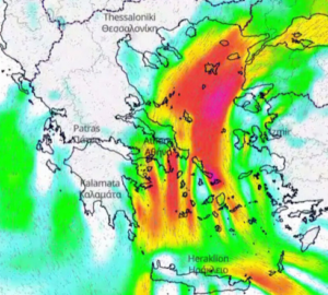
At the same time, atmospheric instability is returning to mainland Greece and is expected to become more pronounced over the coming days.
Today’s forecast
For Tuesday, 30 June 2026, generally clear skies are expected across the country.
Cloud will begin to develop over mainland areas after midday, with localised showers forecast for the Peloponnese, western Central Greece (Sterea), Epirus and Macedonia, mainly over mountainous areas.
Maximum temperatures will reach 37°C to 38°C across mainland Greece, 33°C to 34°C in Crete, the Dodecanese and the Ionian Islands, and around 31°C in the Cyclades.
In the Ionian Sea, northwesterly winds will blow at up to Force 4 on the Beaufort scale, while northerly winds in the Aegean will locally reach Force 6.
Attica and Thessaloniki
Attica is expected to enjoy sunny weather throughout the day. Northerly winds will blow at up to Force 6 in some areas, while temperatures will range between 22°C and 36°C.
In Thessaloniki, cloud is expected to build after midday and could bring brief showers. Winds over the Thermaic Gulf will remain light, while temperatures are forecast to reach 37°C.
Outlook for the coming days
Atmospheric instability will persist during the warmest part of the day on Wednesday, Thursday and Friday, mainly affecting mountainous areas of mainland Greece.
Temperatures will continue to approach 38°C in northern parts of the country, while northerly winds over the eastern seas will remain below Force 6.
Over the weekend, the unsettled conditions are expected to ease gradually. Temperatures will fall, while northerly winds will strengthen significantly.
Ask me anything
Explore related questions


