The new year will start with significant cold, as low temperatures will characterize the weather both on New Year’s Eve and New Year’s Day 2026.
According to meteorologist and Director of Research at the Athens Observatory, Kostas Lagouvardos, on Tuesday and Wednesday there will be more rain, mainly in central and southern Greece, while Wednesday and Thursday will see a significant drop in temperatures.
New Year’s Day weather: Frost and light rain, snow even at low altitudes, predicts Marousakis
According to the latest forecast by meteorologist Klearchos Marousakis, the current week is characterized by particularly low temperatures, and snow is expected on New Year’s Eve, even at low altitudes in central and eastern mainland Greece.
Temperatures will continue to decline over the next few days, and New Year’s Day is expected to be bitterly cold.
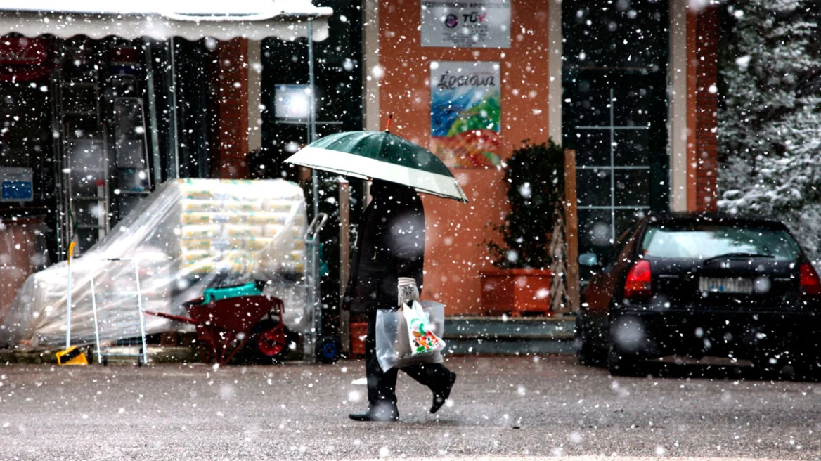
Snow in the northern suburbs of Attica
Marousakis notes that in Attica, snowfalls may occur in the northern suburbs during the turn of the year, but they are not expected to cause problems.
On New Year’s Eve, temperatures in central Athens will remain particularly low for this time of year. By midday, the mercury will rise only to 6°C, creating a strong sensation of cold even during the day. As evening approaches, temperatures are expected to drop further, reinforcing the wintery atmosphere in the city as the new year arrives.
The cause is a polar air mass moving toward Greece, which will be intense over the two days of New Year’s Eve and New Year’s Day.
Weather forecast up to New Year’s Day by Dimitris Ziakopoulos
MONDAY (29/12)
- No significant rain is expected across the country.
- Gradual weakening of northern winds in most regions, including central Macedonia. Exceptions include strengthened NW winds in the Dodecanese, which will persist almost all day.
- Low minimum temperatures. Frost mainly in Epirus and central-northern mainland areas far from the sea.
TUESDAY (30/12)
Atmospheric circulation:
A low-pressure system in the central Mediterranean moving east will turn winds in Greece to the SW at 4–6 Beaufort. At the same time, a new cold front is expected to move from the N–NW Balkans toward Greece. This front is not expected to cause significant weather in northern Greece, but during the evening and night, winds will turn north there, reaching up to 7 Beaufort.
From midday, rain and scattered thunderstorms will affect western Greece and gradually spread eastward, mainly impacting eastern and southern islands. Snow is expected in mountainous areas.
NEW YEAR’S EVE, 31/12
The low-pressure system from the central Mediterranean is expected to move toward the eastern Mediterranean via southern Greece. Meanwhile, the cold front from northern Greece will move S–SE, gradually turning winds NE at up to 7 Beaufort.
In W–SW Greece (mainly the Ionian) and the eastern and southern islands, rain and scattered thunderstorms will continue initially, gradually weakening from west to east.
In southern Macedonia (Chalkidiki, Kavala, Thassos) and possibly in the morning in W. Macedonia, short-duration local snowfalls are possible. There are scenarios for temporary snow in more areas of northern Greece, which will be refined in upcoming model runs.
In Thessaly, central-eastern Sterea – Evia, and eastern and northern Peloponnese, occasional rain and local snowfalls are expected, which in central areas may reach low-altitude regions. From midday, these phenomena are expected to gradually weaken.
NEW YEAR’S DAY
After the cold front moves away, N–NE winds will prevail, gradually weakening almost everywhere.
Local clouds in eastern and southern areas, with weak phenomena in northern Crete in the morning. Elsewhere, mostly sunny skies.
Temperatures will be quite to very low. Frost at night and in the morning in mainland Greece, especially in northern regions, where it may be strong locally.
Ask me anything
Explore related questions


